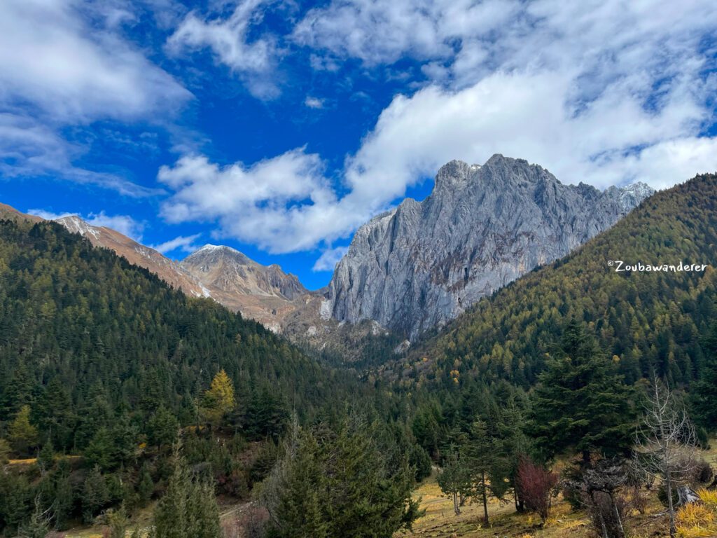
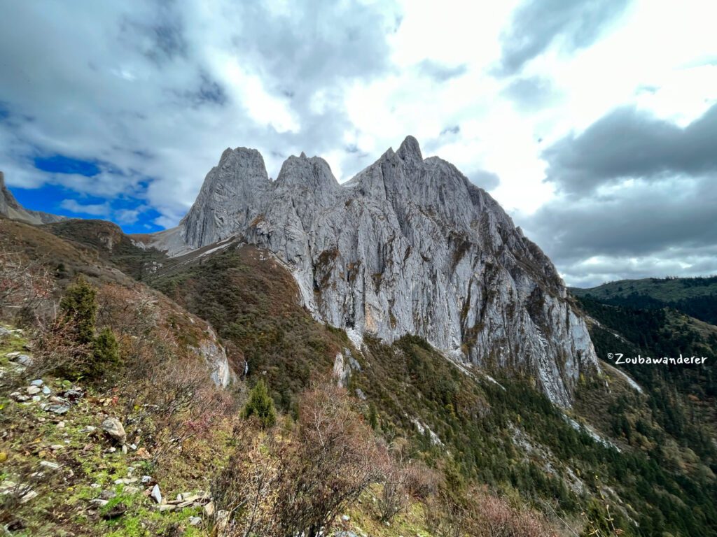
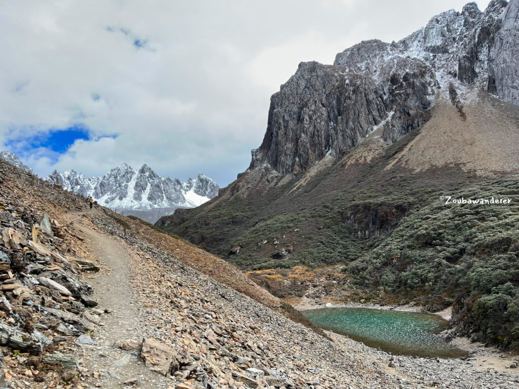
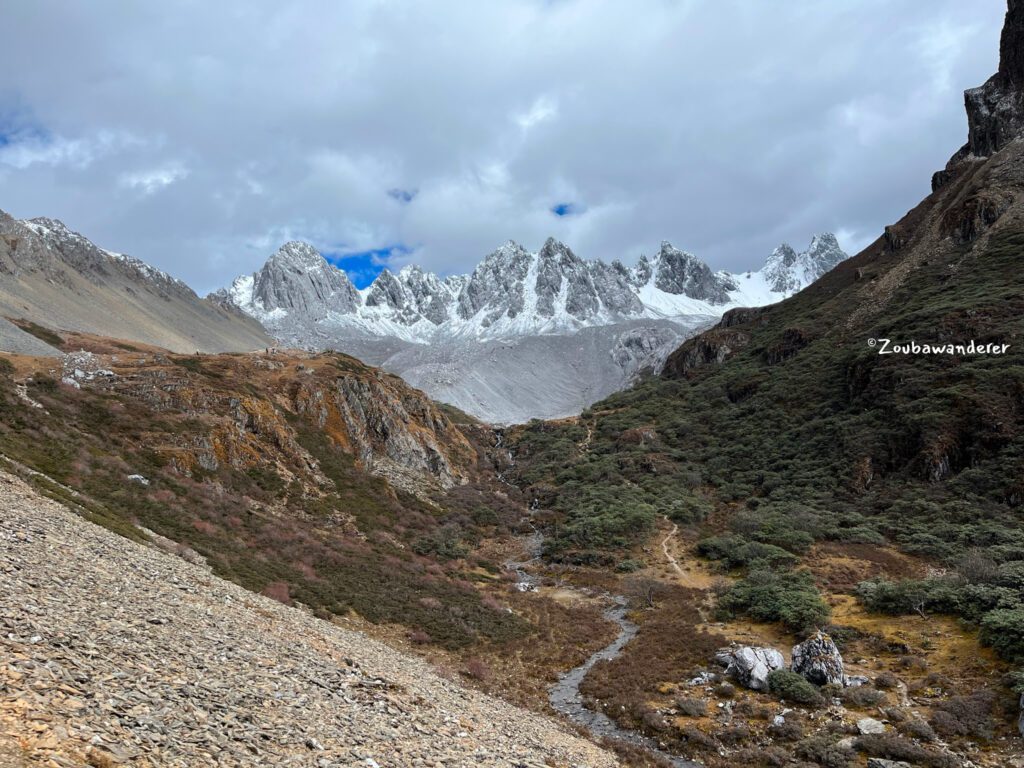
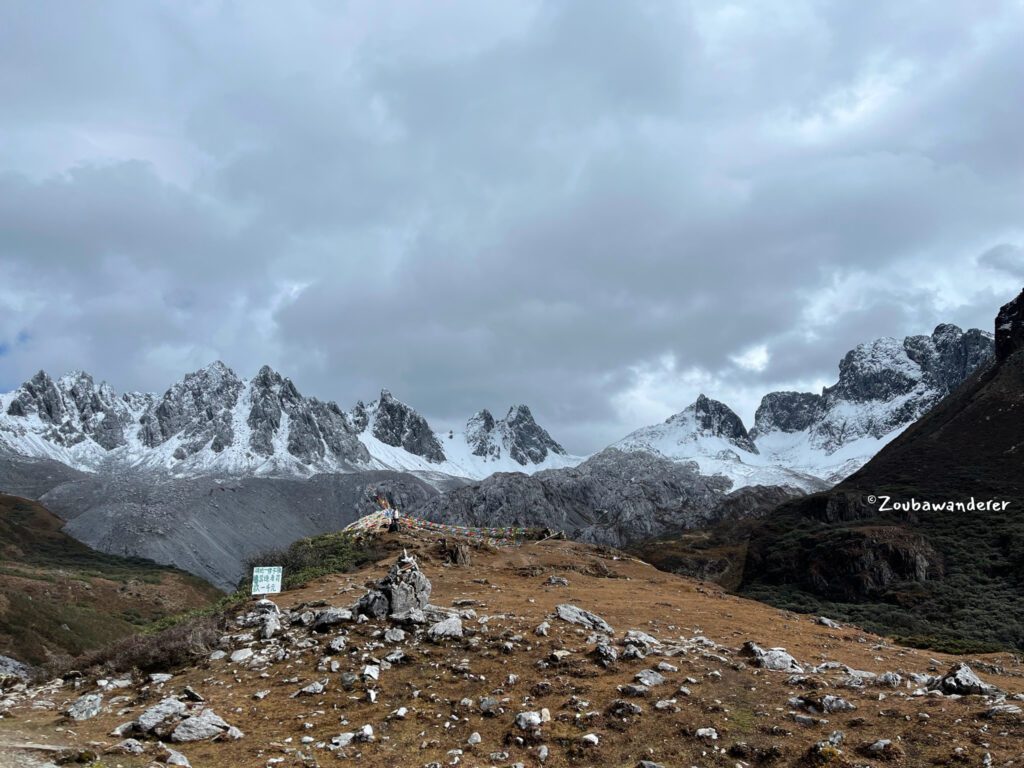
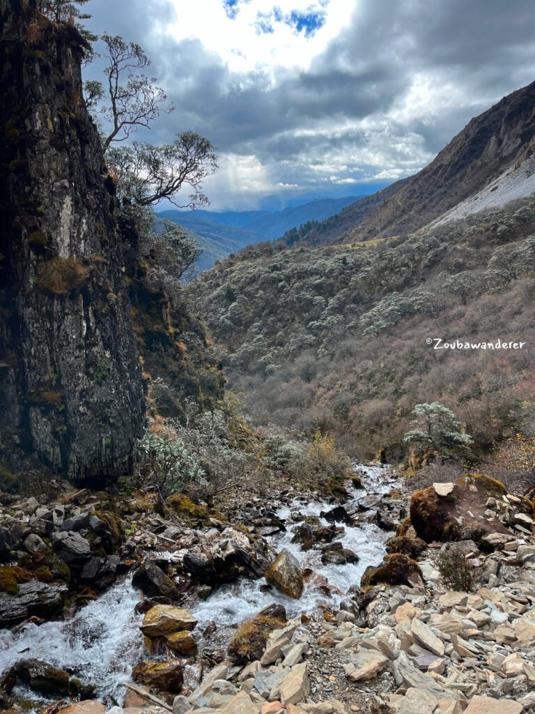
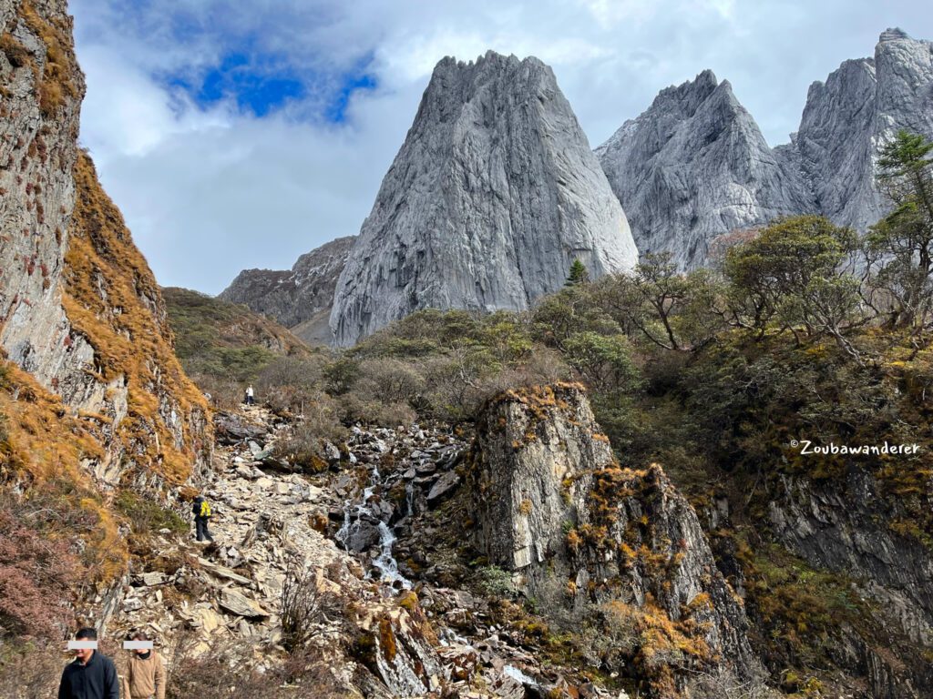
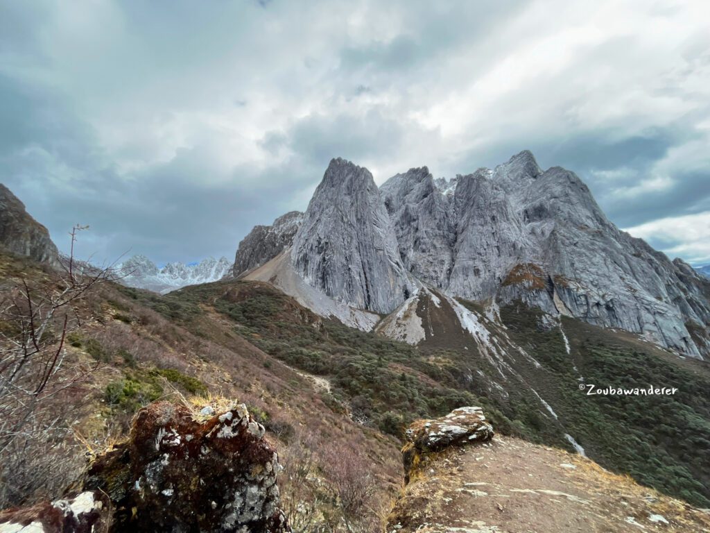
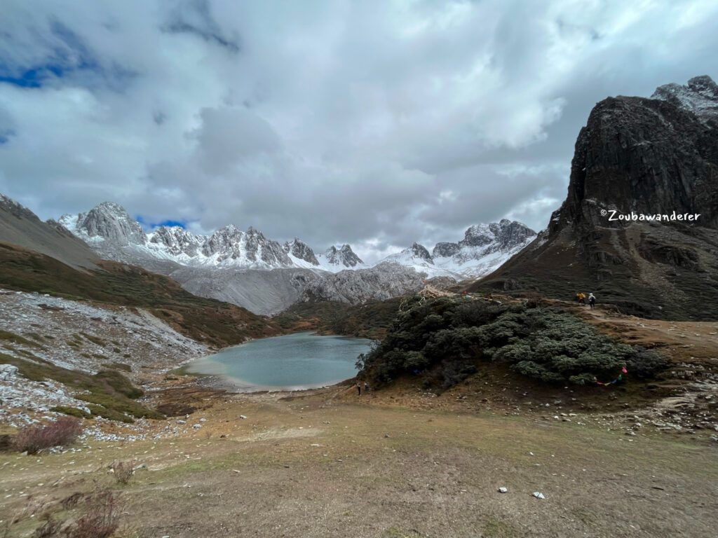
Abujicuo is a stunning day hike from Shangri-la, Yunnan China. For a hike to Abujicuo, there are three main trails: the short trail (old/south), the long trail (new/north), and a combination of both. The short trail starts at the trailhead near Niguge and is a 9 km out-and-back trail. The long trail starts at Xi Lian Pen Ya Kou (洗脸盆垭口) and is 27km out and back. A combination of the long trail and the short trail (point-to-point) is around 20km. Furthermore, there is also the possibility to do a loop from Xi Lian Pen Ya Kou to Tian Bao Mountain (天宝雪山) – this will be a multi-day trek covering around 36km.
I read this post before my trip and did the 9km out-and-back day hike on the short trail. Time spent: 2 hours and 10 minutes for the ascent,1 hour and 20 minutes for the descent, and 15 minutes at the lake.
The hike was done on: 27 Oct 2023
When not to go to Abujicuo | 最好不要在什么时候要去
The short trail is closed from October/November to around April/May the following year.
每年从大概十月或十一月起封山到来年四五月解封。 封山期间短线不开放哦!
Where is Abujicuo & How to get there | 阿布吉措在哪里 & 怎么去
Located around 41 km from Shangri-la Dukezong city, Abujicuo is a serene lake. Getting to the trailhead near Niguge involves navigating a 12 km bumpy dirt road. As of December 2023, no public transport reaches the trailhead (note: ongoing development works in the area might bring changes) so most hikers opt for either of the following:
- Have their transport
- Charter car service from Dukezong City. This will set you back around 400-500 yuan depending on the location of the dropoff/pickup. Finding others to share a chartered car with is a common way to reduce costs.
- Join a tour from Shangri-la Dukezong City. This costs around 180 yuan per pax and includes insurance, guide, and transport.
How I did it: Public Transport + Hitch Hike
Embracing a spur-of-the-moment decision to hike the next day, I could neither secure a tour in time nor find a shared car during the off-peak season of late October. Chartering a car was pricey, and lacking an International Driving Permit ruled out self-arranged transport. In the end, I took a public bus to Xiao Zhong Dian (小中甸) and hitchhiked to the trailhead. That’s how I tackled it:
Public Transport
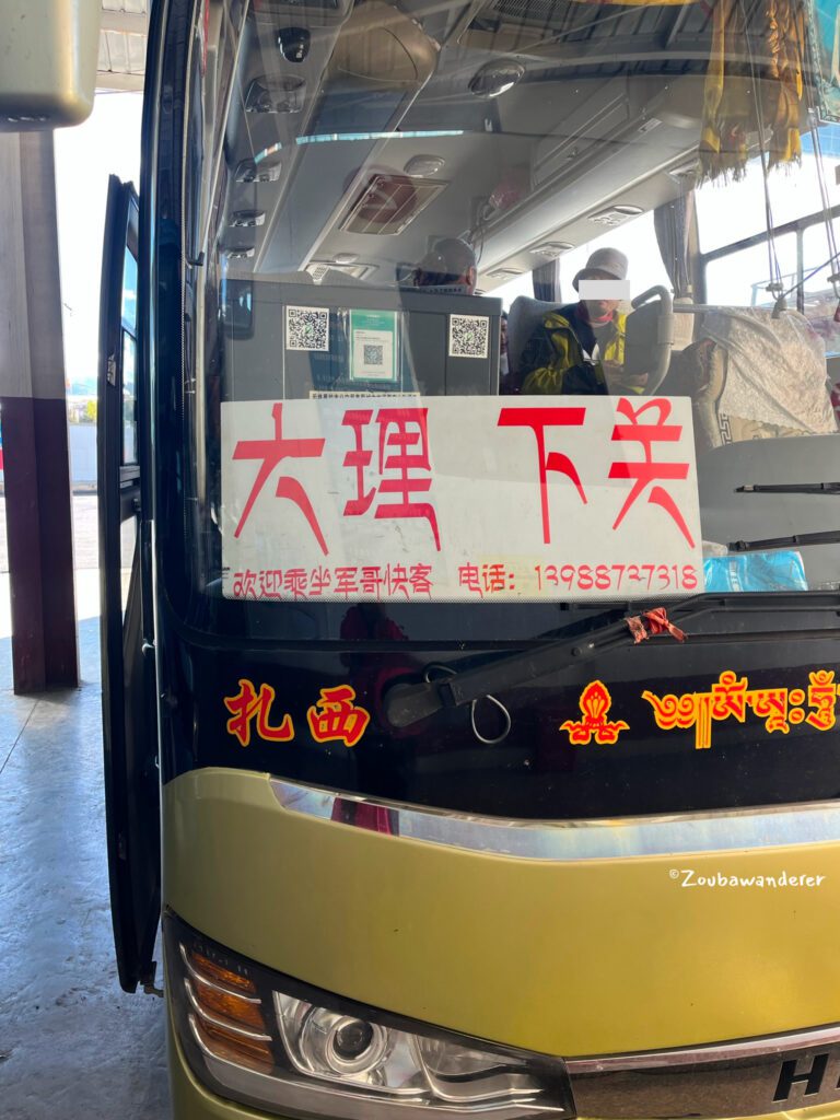
From the bus terminal or Dukezong East Gate (check the schedule online), take the bus headed towards Xia Guan Dali 下关大理. Alight near the intersection at XiaoZhongDian Farm 小中甸林场 (27.601783563925718, 99.78969514856944) by checking your GPS on the BaDe / Tengxun / Baidu map and request the driver to stop. The 30km ride takes about 40 minutes and costs 15 yuan. Boarding depends on bus capacity, and payment is directly to the driver. Inform them you’re getting off near XiaoZhongDian 小中甸.
Hitch a hike
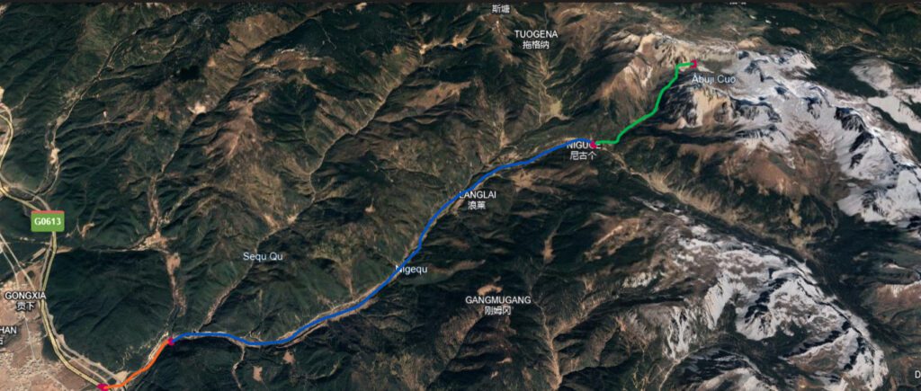
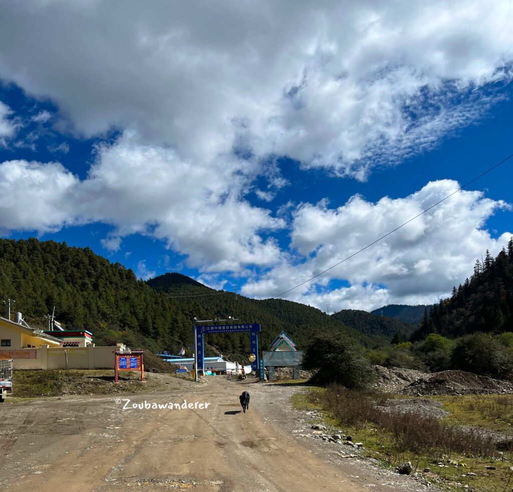
After alighting the bus, cross the road(s) and walk in the direction of the trailhead (the Orange section in the image below). After about 1.8 km or 30 minutes, you’ll spot a small post and gate barrier. An affable uncle monitors the traffic here and closes the gate at 5:30 pm daily, so ensure your departure before then to avoid being stranded. This is a good place to attempt to hitch a hike – arriving at around 8.30 am is advised for better chances. Consider offering to share costs, around 50 yuan, as a courteous gesture.
Suppose you successfully hitched a hike, the next stretch covers a scenic but bumpy 12km to the trailhead near Niguge (the Blue section in the image below). We reached the trailhead at around 1 PM (pretty late already so I was lucky to get a hike!) and were the last groups to start the hike.
For the return journey to Dukezong City, hitching a ride is necessary. Alternatively, you could get a lift to XiaoZhongDian and then take a bus back to Dukezong City.
What to expect
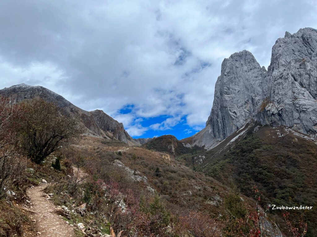
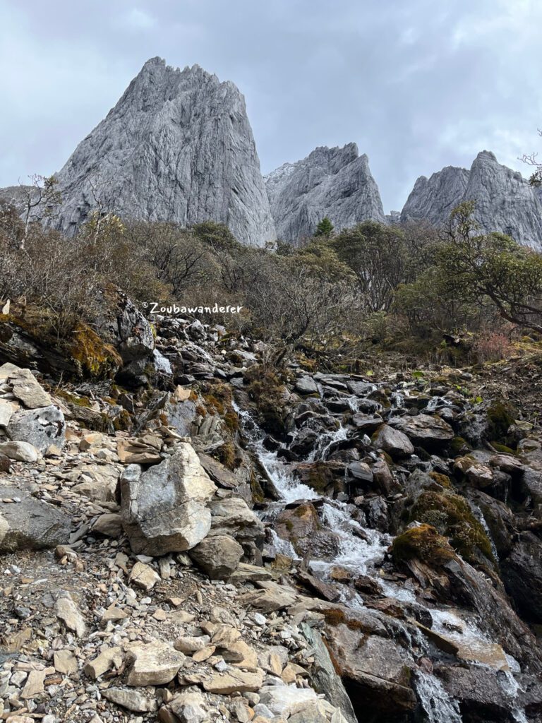
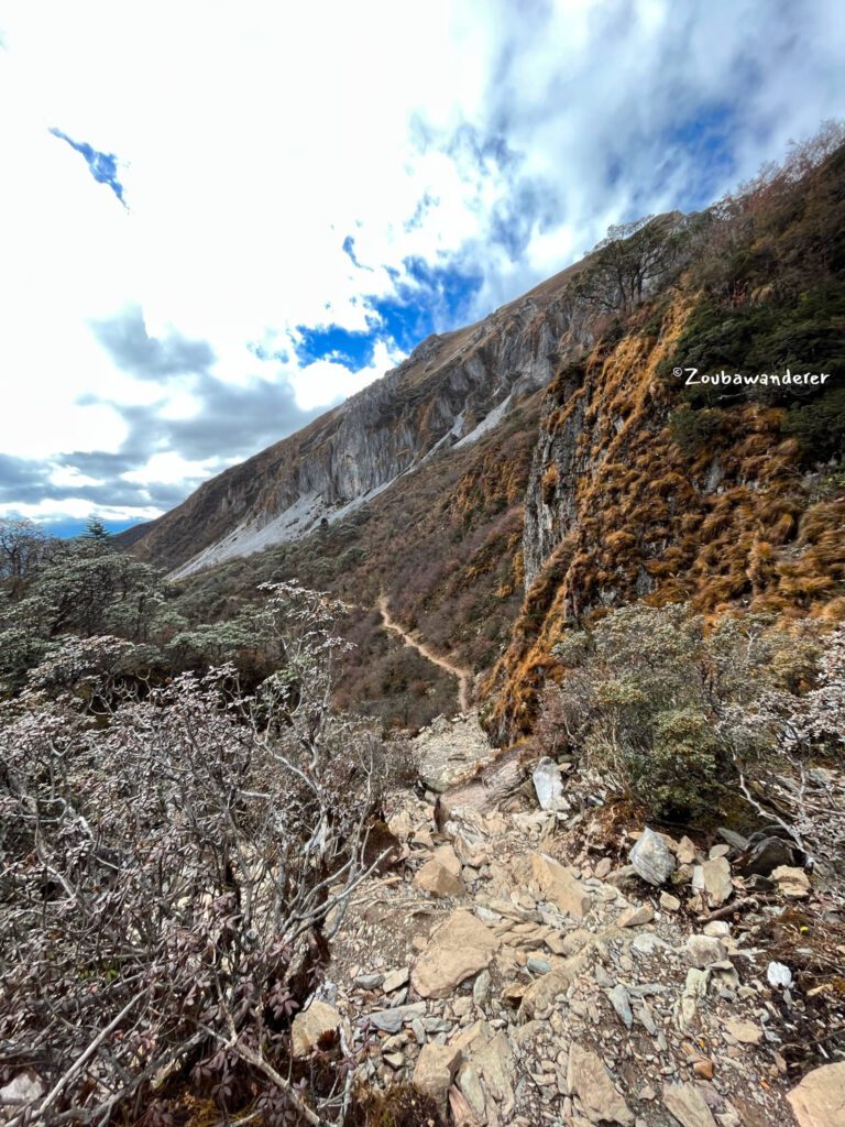
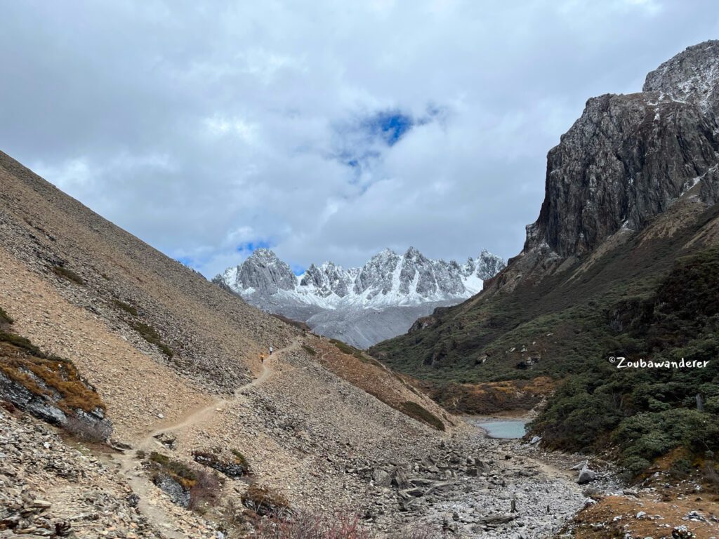
As a rookie hiker, I found this trail to be pretty strenuous. The trailhead is at an altitude of 3600m and you will be ascending 635m to Abujicuo over 4.5km to an altitude of 4220m before taking the same trail down for the descent. I took around 2 hours and 10 minutes for the ascent, 1 hour and 20 minutes for the descent, and 15 minutes at the lake, the slowest of the group.
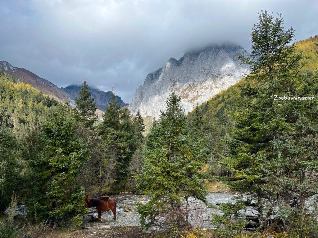
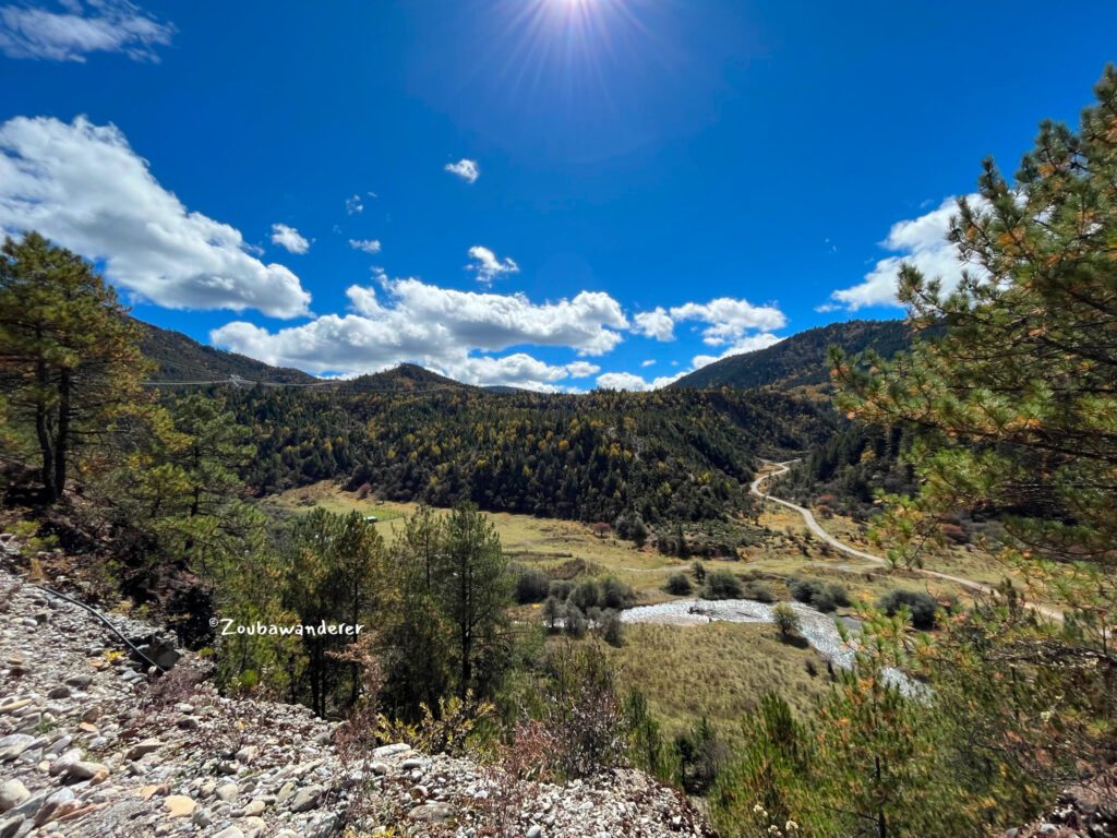
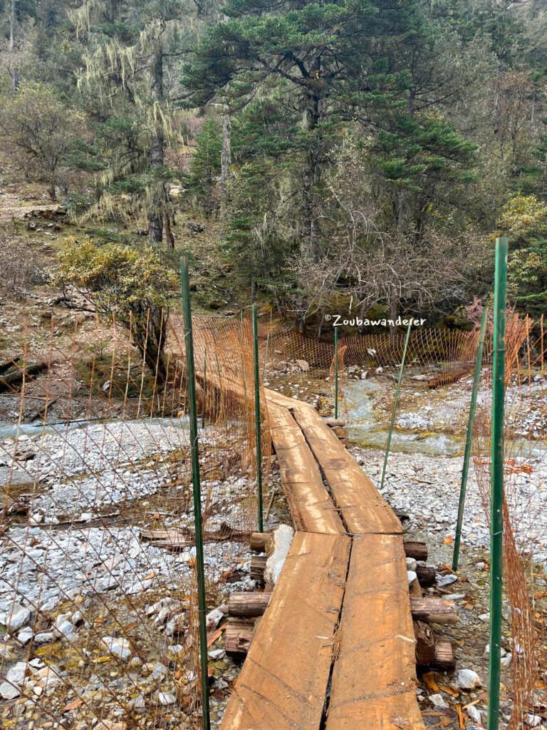
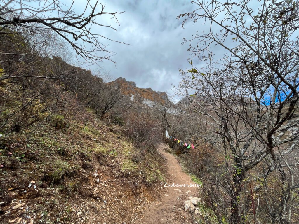
The trail starts with a gentle ascent for 1.5km to a large grass patch/farm – there is a small stall selling instant noodles and food here and you can also use the toilet here for a small fee. There is a wooden bridge on the trail after the farm where the ascent becomes steep after the bridge. The trail is otherwise a clear and well-trodden one. It should be manageable for someone with a decent level of fitness. The wind is pretty strong at the lake and having some wind protection was greatly appreciated.
For easier hikes around the Shangri-la, check out my posts on Tiger Leaping Gorge or Yubeng.

Cellular connection
Do note that there is no cellular connection along the trail.
More photos
