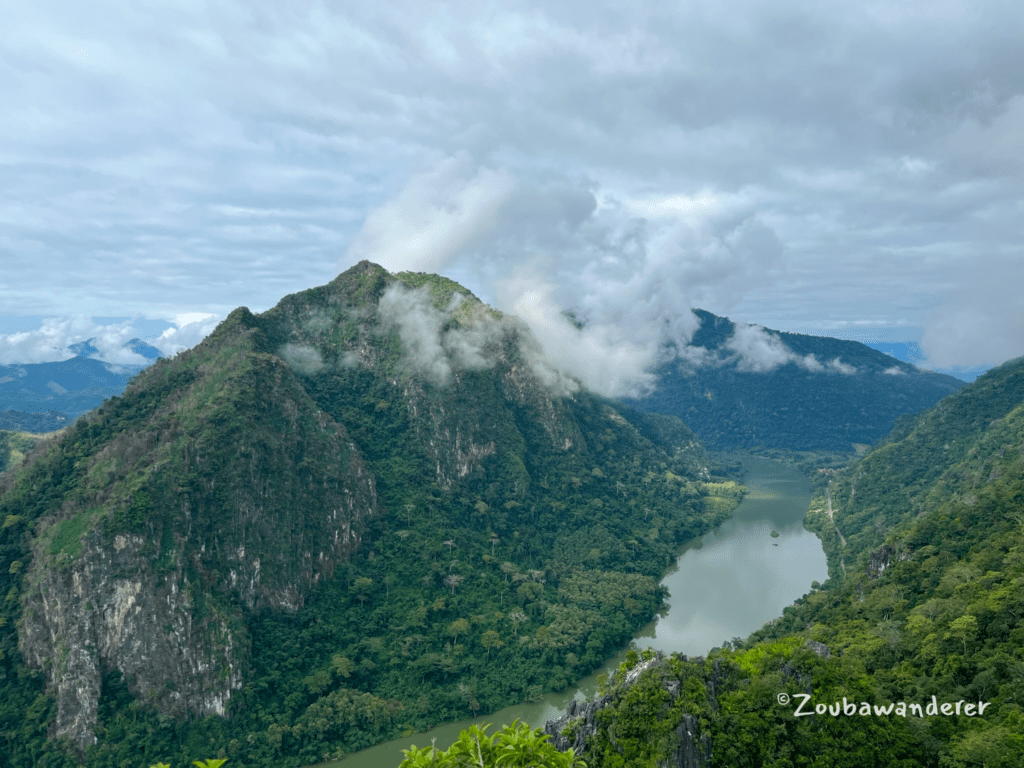
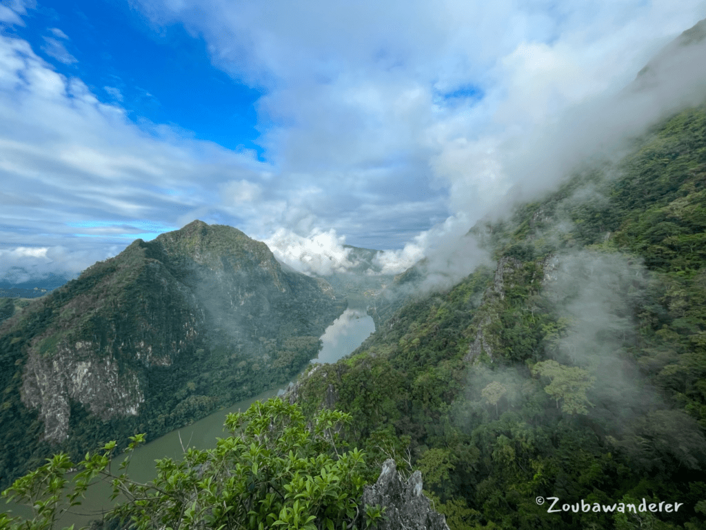
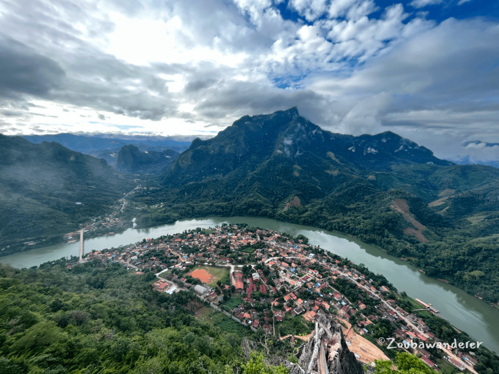
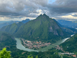
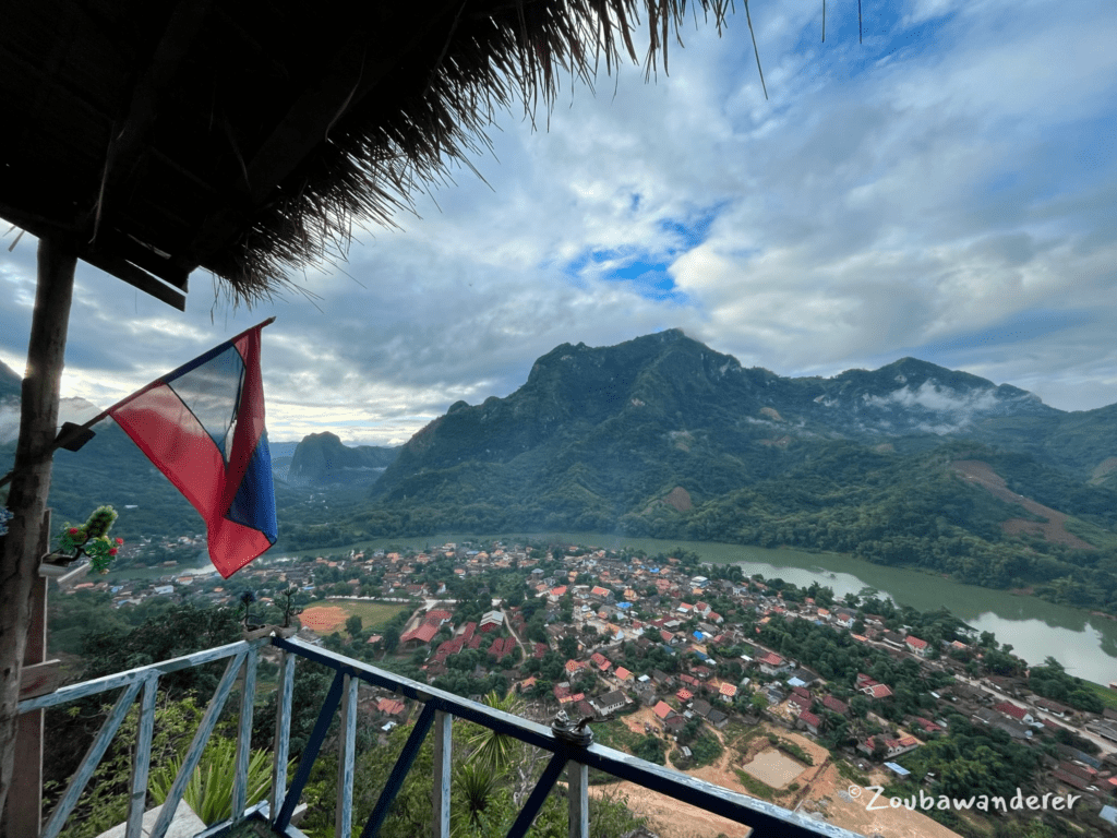
Hiking to the stunning viewpoints is one of my favorite activities in Nong Khiaw. Nature surrounds Nong Khiaw and one of the best ways to appreciate it is to hike to the viewpoints. The viewpoints offer breathtaking vistas of the surrounding natural beauty, characterized by lush greenery, the winding Nam Ou River, and dramatic limestone karst mountains. The hike to these elevated vantage points is steep and strenuous but worthwhile for the great panoramic views. For even better views, reach the peaks at either sunrise or sunset! At sunrise, you may even have the chance to experience being above the clouds!
Here is a non-exhaustive list of the viewpoints: Pha Daeng viewpoint, Labluebang viewpoint, Pha Kao viewpoint, Phar Kew Lom viewpoint, and Sleeping Lady viewpoint (aka Nang None viewpoint). There is an entrance fee of 20k – 40k kip (as of Nov 2023) for each of these viewpoints which goes towards the maintenance of the trails. The trails have varying degrees of popularity and the Pha Daeng viewpoint seems to be the most popular one.
This post will review two viewpoint hikes I did in Nong Khiaw – the Phar Kew Lom viewpoint & the Sleeping Lady viewpoint. As for the other viewpoints, check out Get Real Travel’s blog post for a pretty good review!
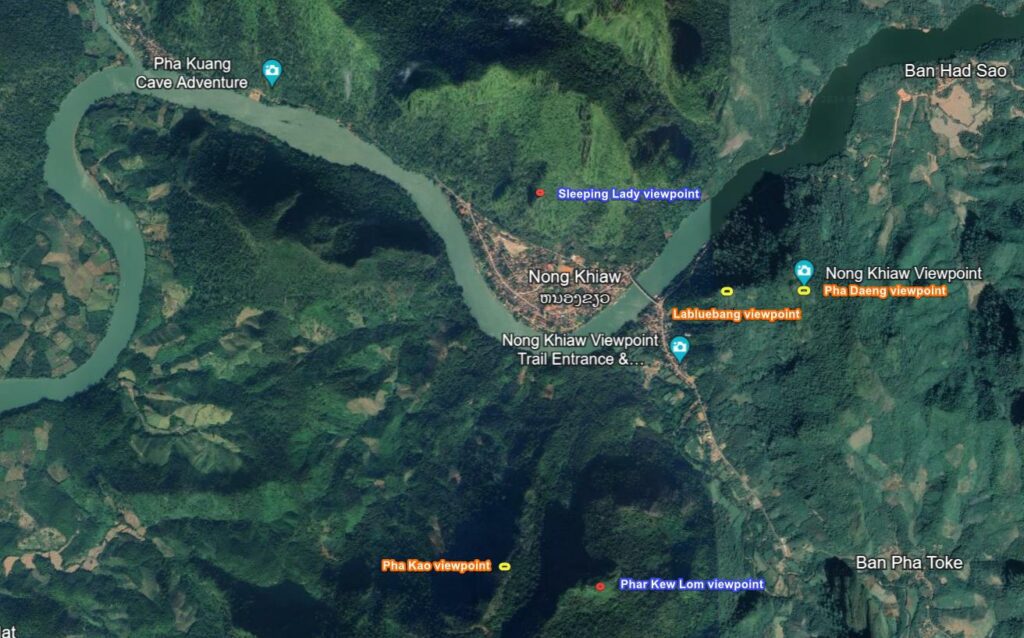
1. Phar Kew Lom viewpoint – strenuous
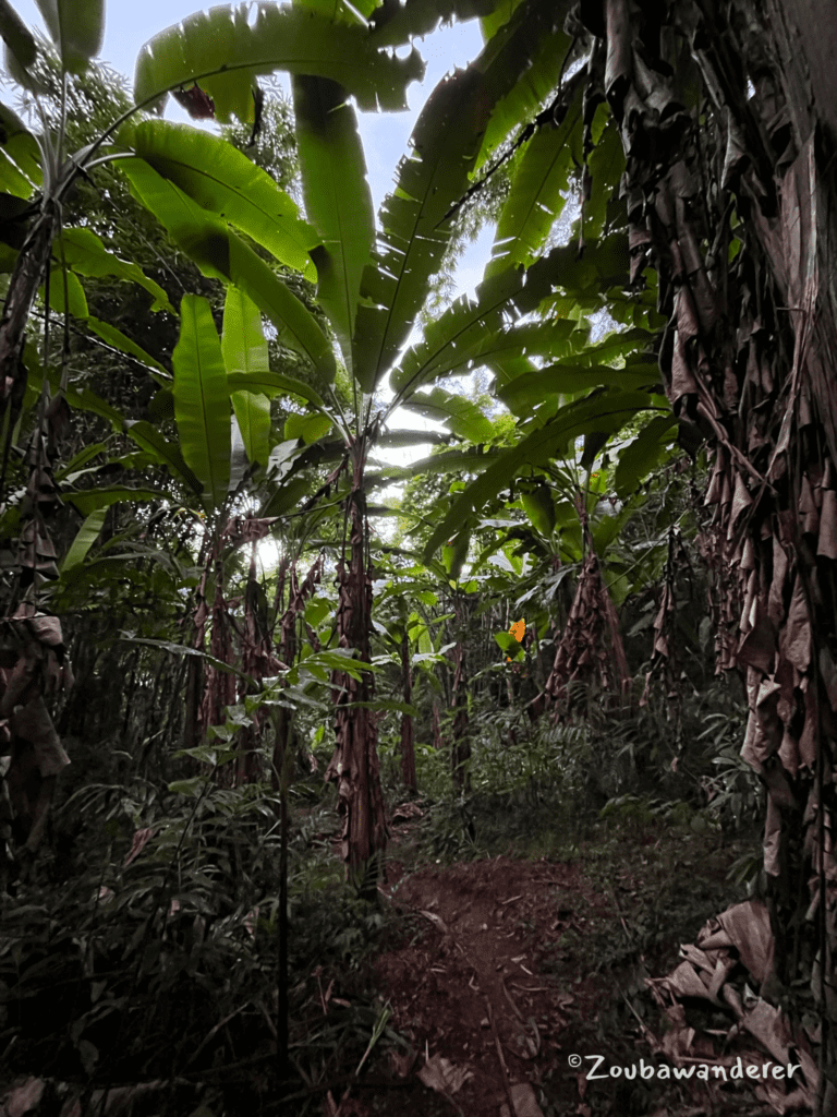
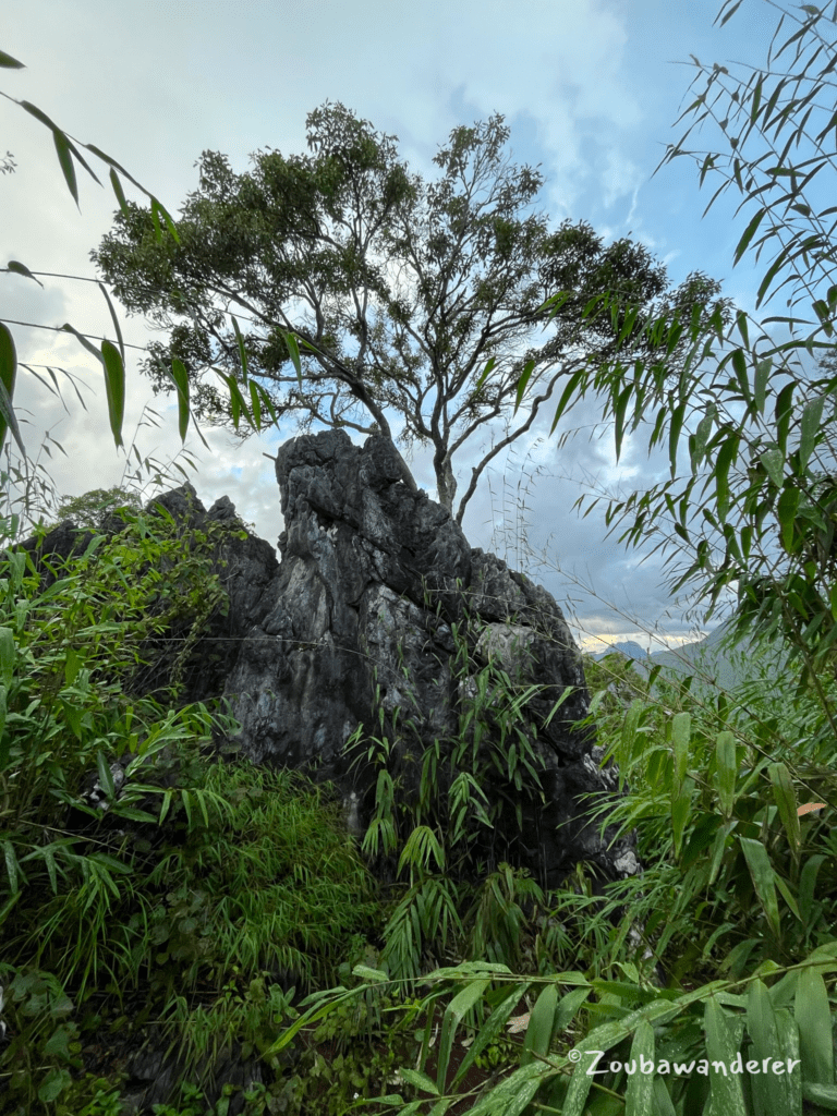
The hike begins with a series of natural earth steps through the woods, leading you through a banana plantation, a bamboo forest, and a rocky forest. Overall a strenuous hike and an adequate fitness level will be required. Some sections are steep and can be muddy (slippery) if it rains so shoes with good grip are necessary. As this trail is also longer than some other viewpoint hikes in Nong Khiaw, do factor in enough time if you intend to do this hike. Otherwise, bring along a headlamp in case you can’t complete the descent before sunset. I started the hike at 2.20 pm and completed the descent after darkness.
| Route type | Out-and-Back |
| Total distance (loop) | 4.8 km |
| Time taken | 3h 40min |
| Time for ascent | 1h 50min |
| Time for descent | 1h 50min |
| Total elevation gain | 740m |
| Total elevation loss | 740m |
Getting there & Entrance fee
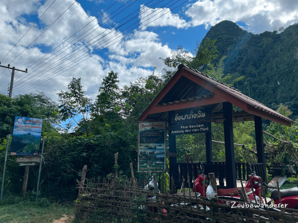
The entrance to Phar Kew Lom viewpoint is located ~1.7km away from the main street of Nong Khiaw. Cross the Nong Khiaw bridge and continue past Pha Daeng viewpoint entrance to reach the Pha Kew Lom viewpoint entrance on the right side of the road. It is difficult to miss the entrance since there are multiple signboards around it. The family who stay near the entrance will collect an entrance fee of 20K kip per person from you and provide you with a paper receipt. Do keep the paper receipt with you to avoid paying another time when you exit the trail! There are no water points along the way so bring enough water with you for the hike.
Getting to the trailhead from the entrance
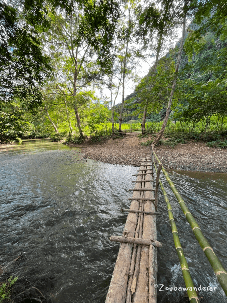
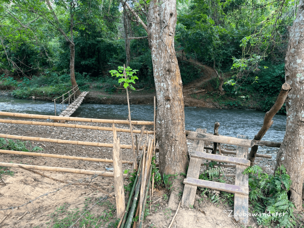
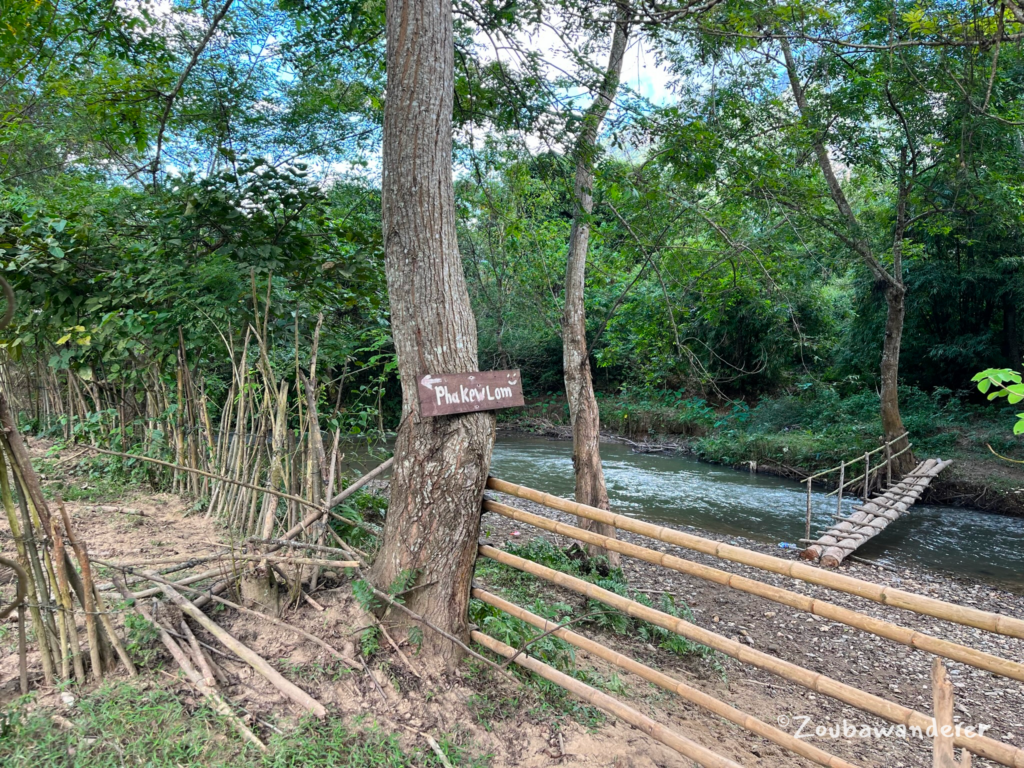
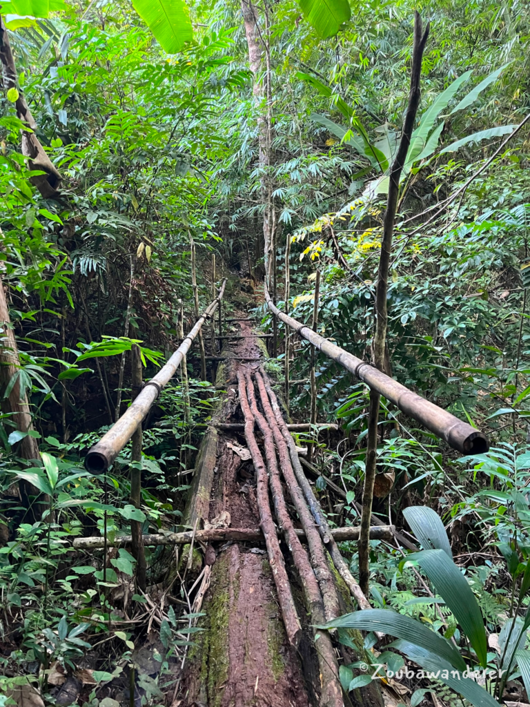
Take the path to the left of the ticket booth. After a short walk descending to the river bank, you will see a bamboo bridge – I liked how it has bamboo guard rails at the side! Cross the river and use the wooden ladders at the side to cross over the bamboo barriers. I suspect the barriers are in place to keep out the livestock. A little wooden signboard confirms that you’re headed to the right place.
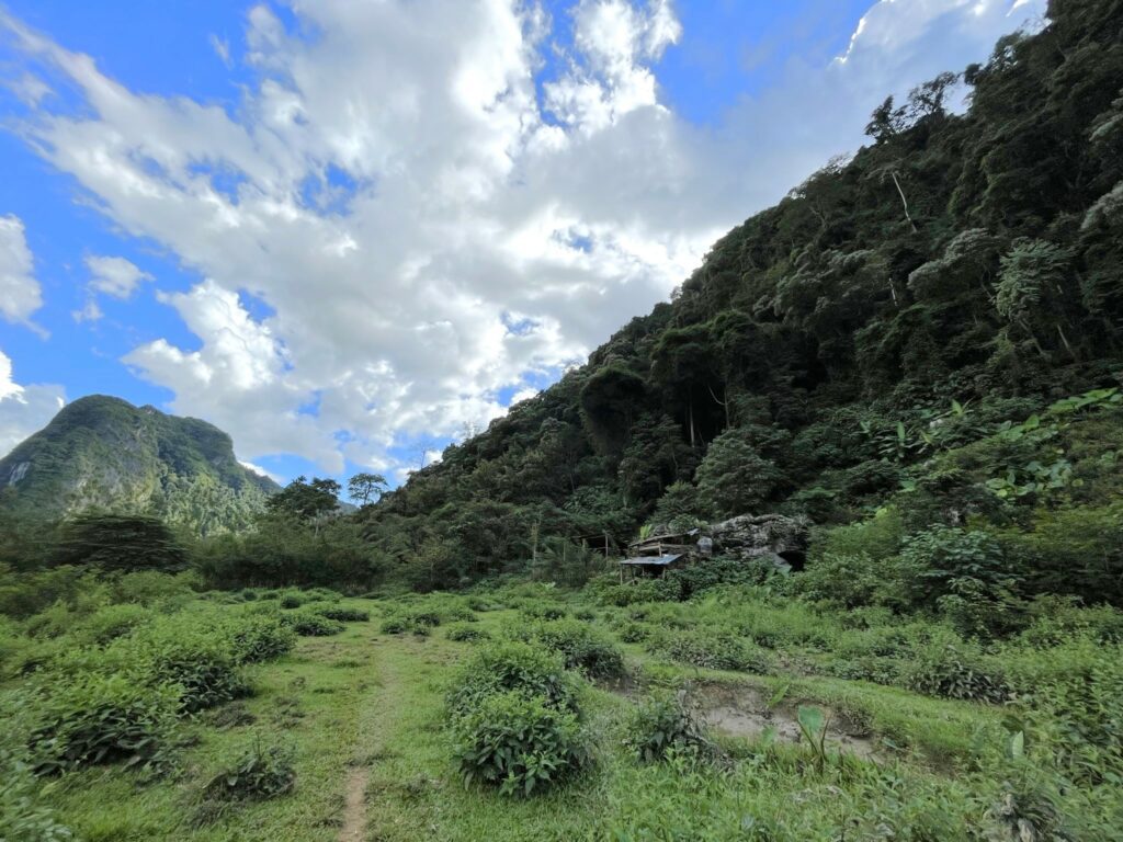
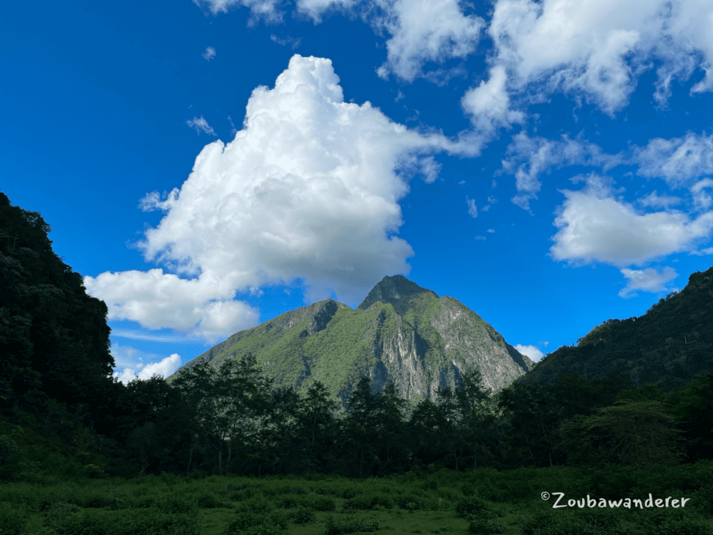
Then, after crossing a large grass patch, you will finally reach the trailhead to Phar Kew Lom; this is where the ascent starts! The grass patch also provides a good view of the mountain towering over Nong Khiaw and makes for a great photo spot.
Tip: the trail from the grass patch to the bamboo bridge can be difficult to find when the sky is dark. It may be helpful to record your trail so that it’s easier to retrace your footsteps later on.
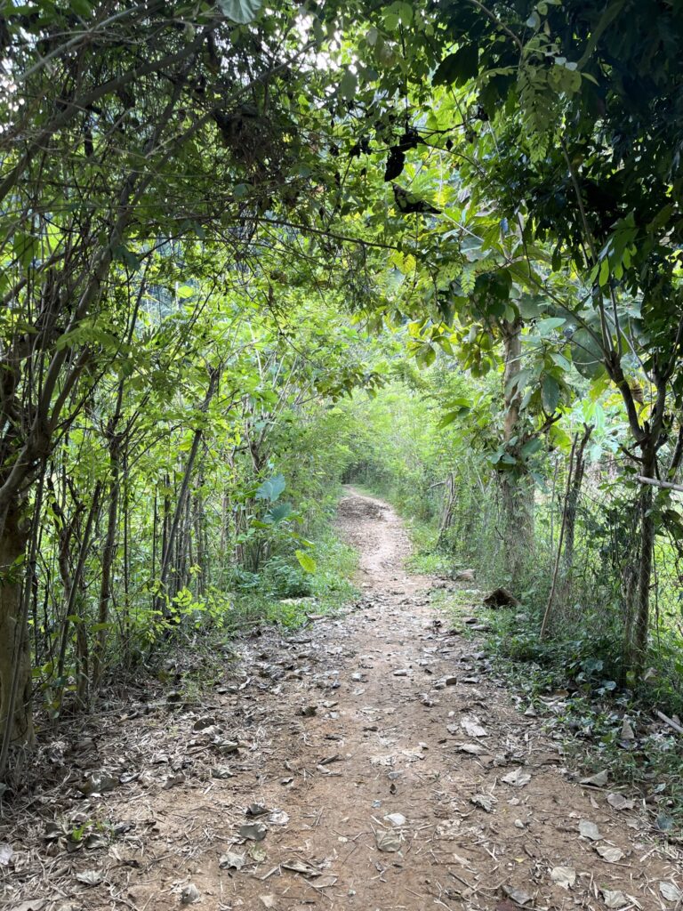
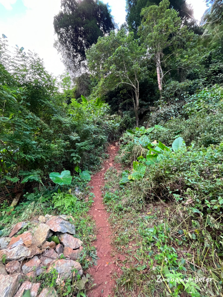
Phar Kew Lom Viewpoint trail
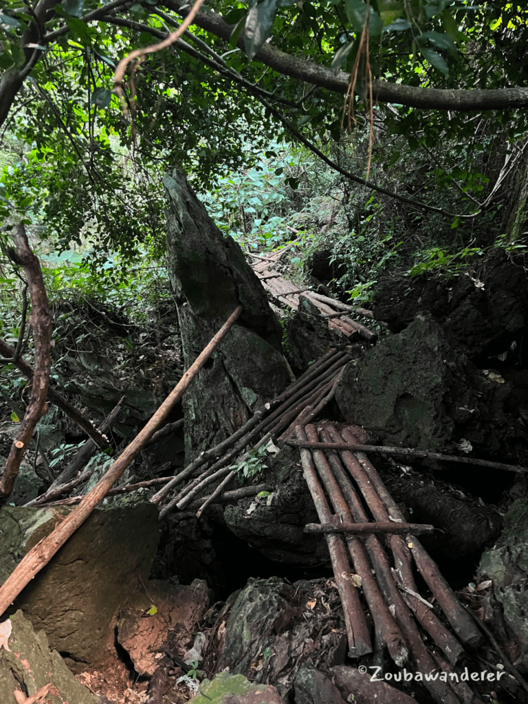
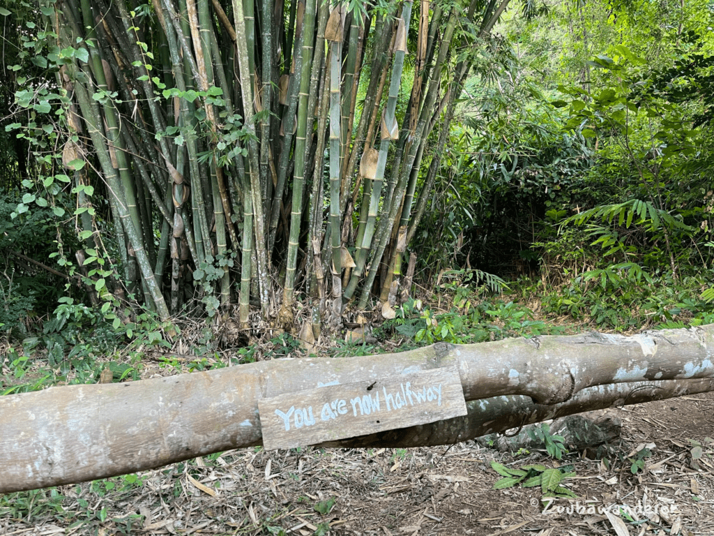
Though some sections are steep, the trail is well-maintained and features cable ropes to aid hikers. Wooden bridges, as seen in the photo below, are frequent and generally safe. A wooden signboard marks the trail’s halfway point, and there are a couple of resting spots along the way for a well-deserved break in the hike. Overall, the hike is a delight as you pass through the banana plantation, bamboo forest, and rock forest. I especially enjoyed admiring the rock formations!
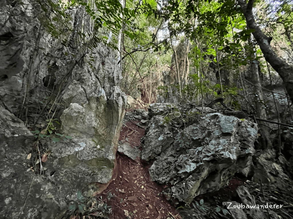
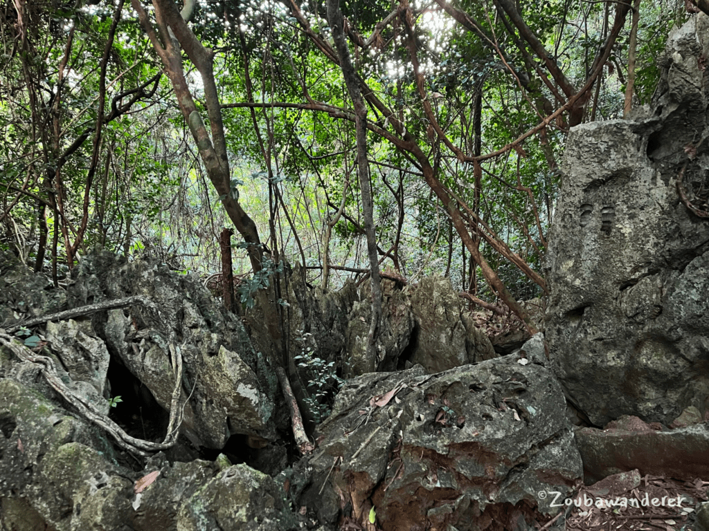
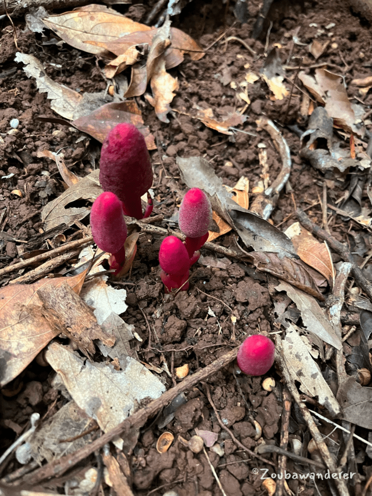
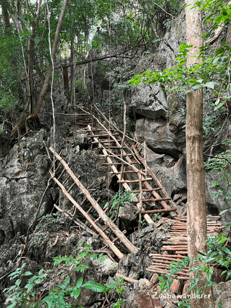
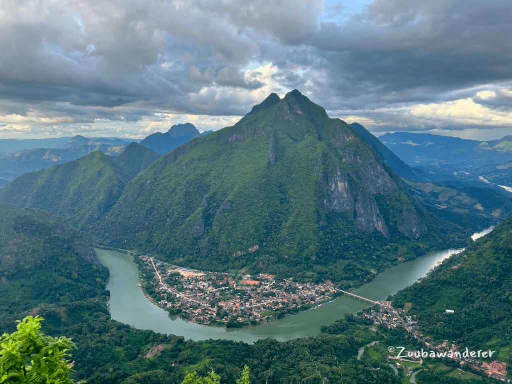
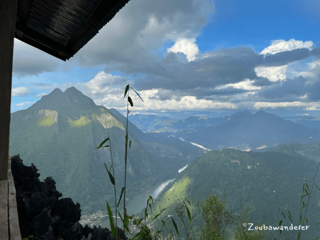
After close to 2 hours of intense workouts, the panoramic scenery at the peak is the best reward to have. It was breathtaking and left me in silent awe as the scenery unfolded in front of my eyes. Soon after reaching the peak, it started pouring. Luckily, there was a shelter at the peak to shield away from the rain. I was accompanied by two German travelers and their guide who planned to camp overnight to catch the sunset, night view, and sunrise at the peak. The price per pax for the camping experience was ~15-20+ USD depending on the number of pax.
The rain subsided after 30 minutes and I hurriedly set off for the descent as it was getting late. The rain made the trail more slippery and I was very careful about my steps. I also had to use a headlamp as I could not complete the descent before sunset. I ended up reaching the trailhead after darkness and struggled to find the path back to the bamboo bridge. It was quite an anxiety-inducing experience and I’d recommend downloading an offline map and having a good (bright) headlamp with you.
2. Sleeping Lady viewpoints (Nang None) – Steep & Rocky
The Sleeping Lady viewpoint hike consists of two viewpoints – a lower viewpoint (viewpoint 1) and an upper viewpoint (viewpoint 2). Expect to climb up and over rocks in a strenuous hike for both viewpoints. The viewpoints start with the same path, but after about 10 minutes of hiking, they split off. This is a good spot to check how you’re feeling and see if you’re ready for the trail ahead to viewpoint 2.
| Route type | Out-and-back |
| Total distance (loop) | 3km |
| Time taken | 2h |
| Time for ascent (viewpoint 1 + viewpoint 2) | 1h Entrance to VP1: 20 min VP1 to VP2: 40 min |
| Time for descent (viewpoint 2 back to entrance) | 1h |
| Total elevation gain | 392m |
| Total elevation loss | 392m |
I started the hike from the entrance at 7.12 am. By the time I reached Viewpoint 2 at 8.15 am, most of the cloud cover had dissipated and sadly I had missed the chance to ‘be above the clouds’. I should have resisted the comfort of the bed and got up an hour and a half earlier to catch the sunrise! Alas, history has been written. I can only hope you are more disciplined than I was.
I’d recommend you
- Start the hike before 5.45 am; bring a headlamp and enough water for the hike
- Don’t visit Viewpoint 1 on the way up; you can drop by on the way down. The view at Viewpoint 2 is way better than what you get at Viewpoint 1.
Getting there & Entrance fee
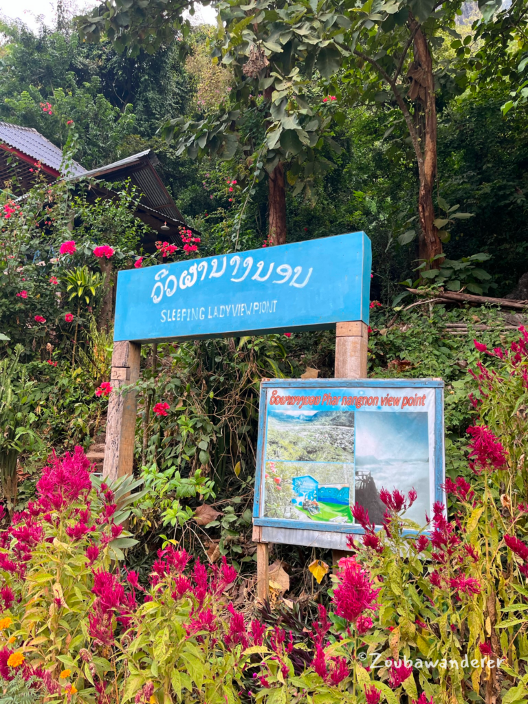
The entrance to the Sleeping Lady viewpoint is around 1 km from the main street of Nong Khiaw. This is what the entrance looks like and it is impossible to miss. I liked all the flowers they planted around the entrance. The entrance fee was 20K kip as of Nov 2023; once this is paid, you’re good to start the hike.
Viewpoint 1
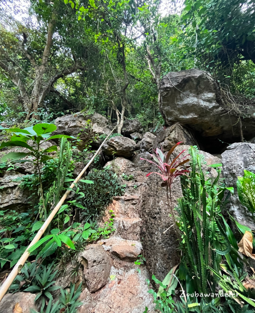
The viewpoints start with the same path, but after about 10 minutes of hiking, they split off. You will be climbing up rocks on a steep and rocky trail. When unsure of where to step, find footing on the discolored rocks.
The view from viewpoint 1 is nothing amazing as it is not high enough. So I’d say viewpoint 1 is optional and you should head to viewpoint 2 if you can!
Viewpoint 2
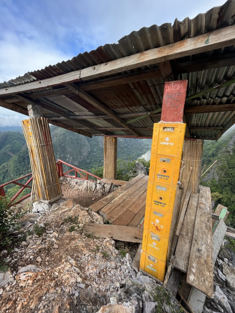
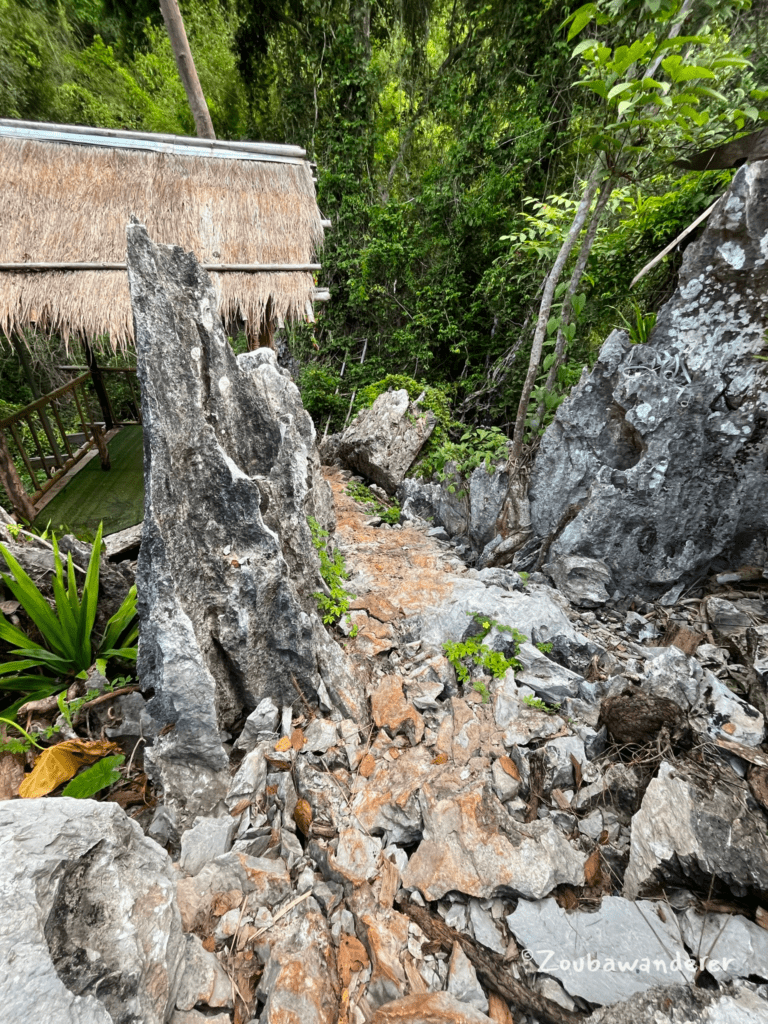
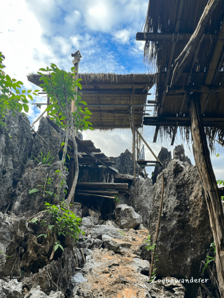
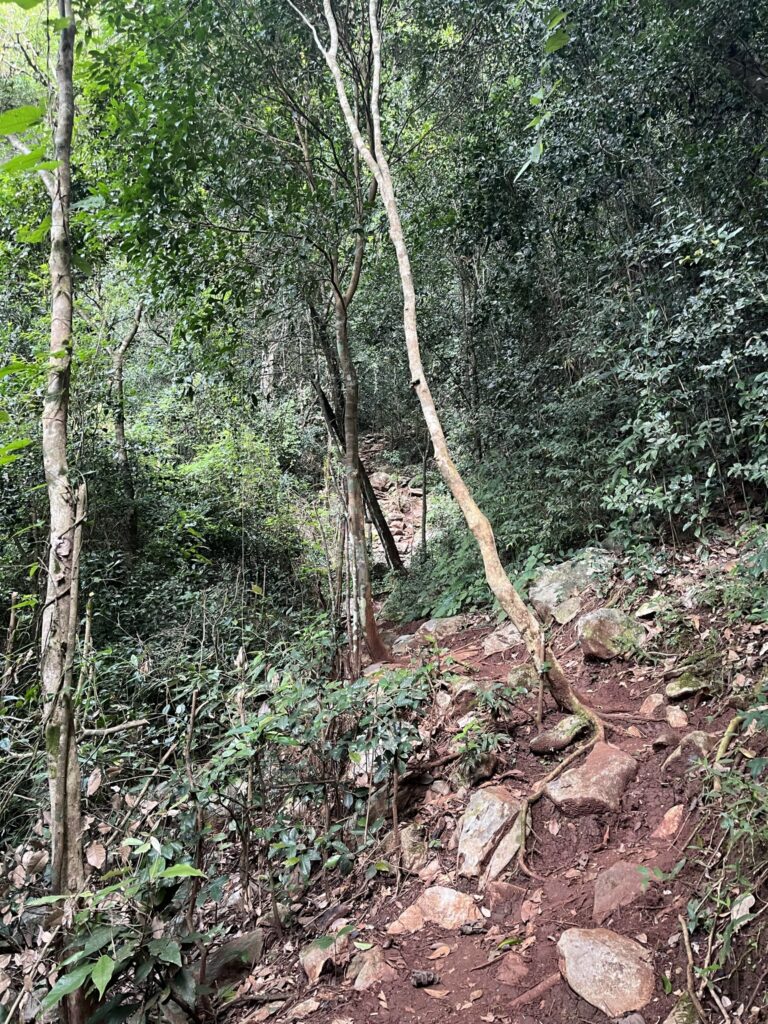
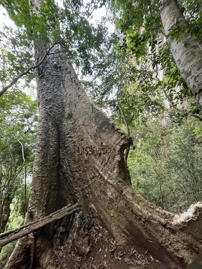
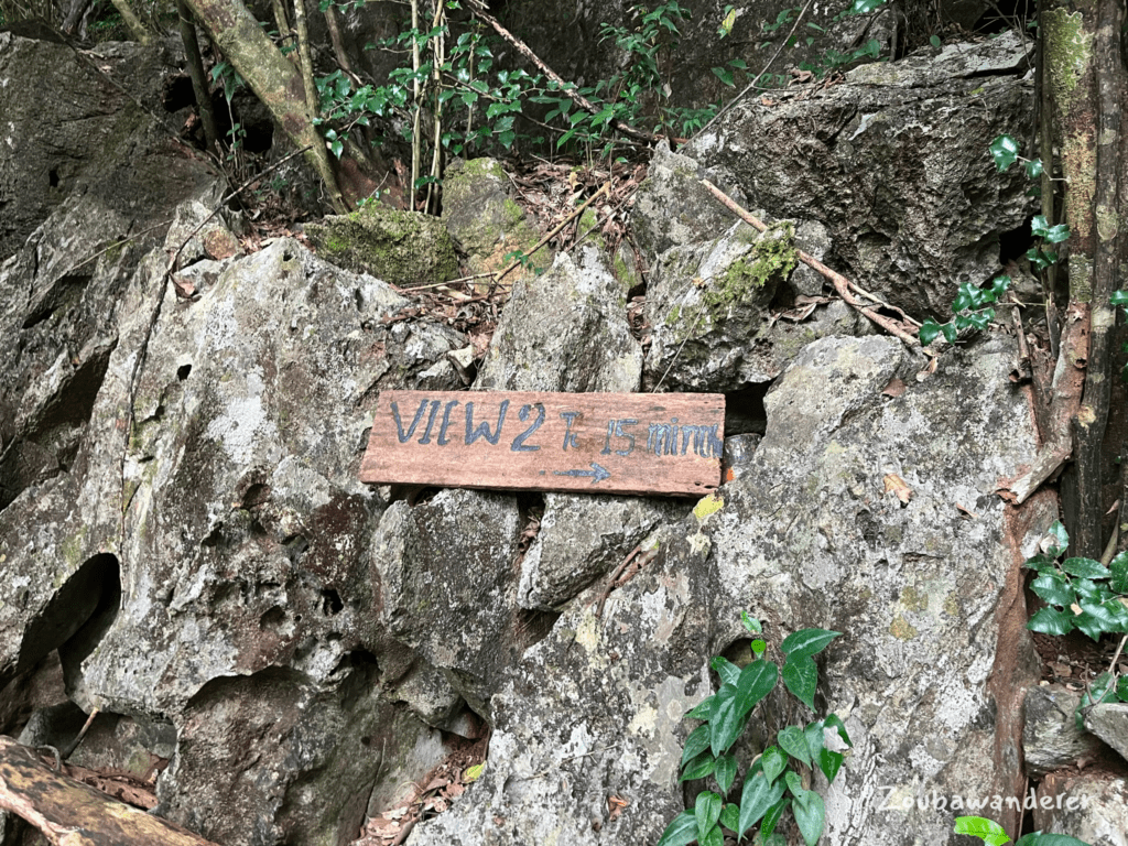
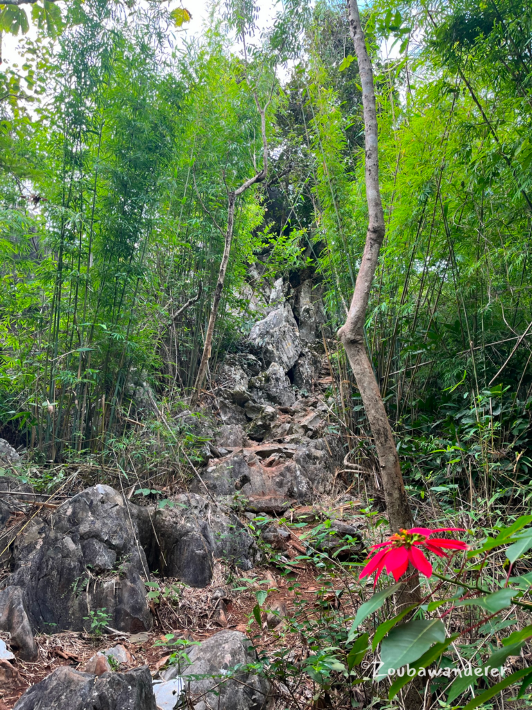
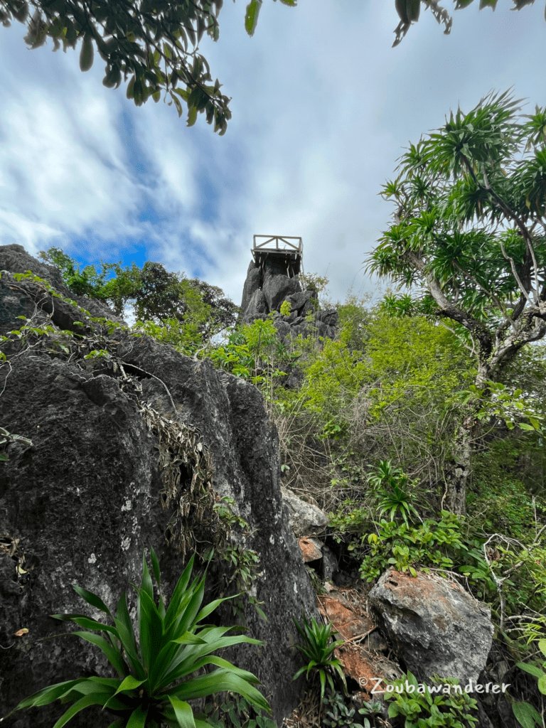
Rocks and bamboo forests characterize the trail. Signboards are scattered along the trail, guiding and signaling your progress as you ascend upwards. The final section to the Viewpoint 2 platform was especially steep as you exit the forest cover and climb over sharp rocks to reach the shelter perched on the rocks. The shelter at the peak is basic and some of the floor’s wooden planks were slightly rotten.
Take a well-deserved break as you soak in the stunning scenery! I spent a good 40 minutes at the viewpoint before finally making my way down. While I saw a couple of hikers along the way, I was privileged to have the view all to myself when I was at the peak.
Another higher platform perched precariously on the rocks is adorned with the Laos flag and makes a perfect spot for a memorable photo moment.
