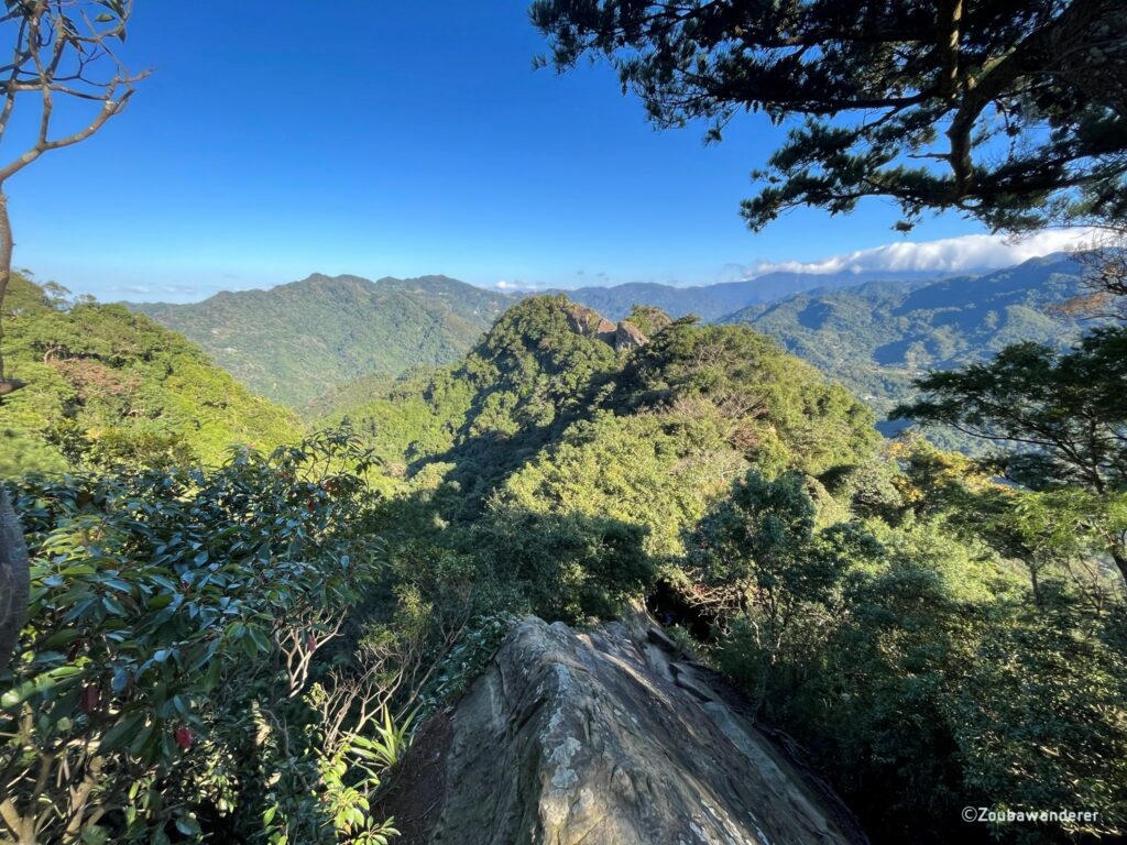
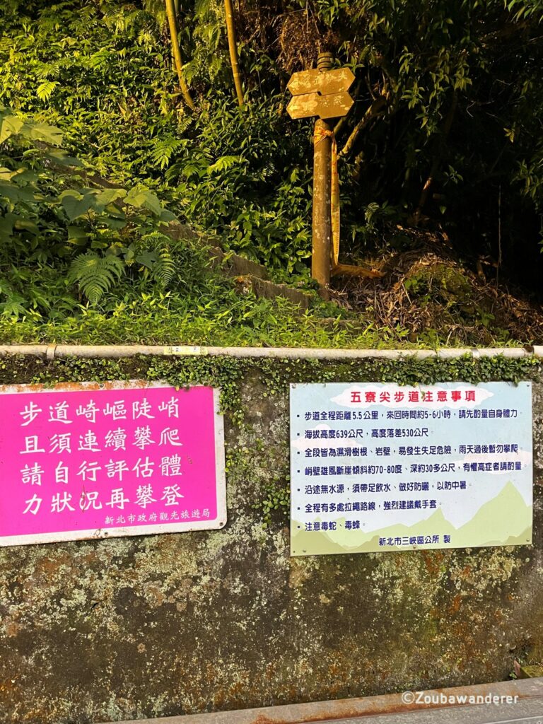
Wuliaojian 五寮尖, located in New Taipei City, is a popular trail among local and foreign hikers in Taiwan, and for good reason. Whilst standing at only 639m high, it is one of northern Taiwan’s three major rock fields and offers an exhilarating terrain. Be prepared for a fun and challenging hike where you will need to rope and rock climb your way up.
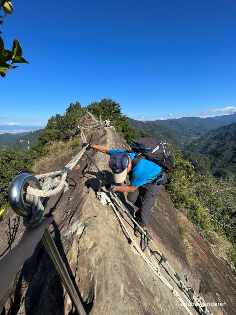
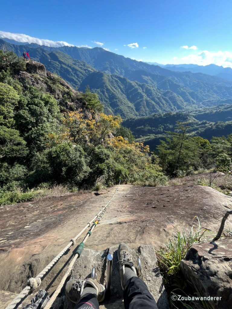
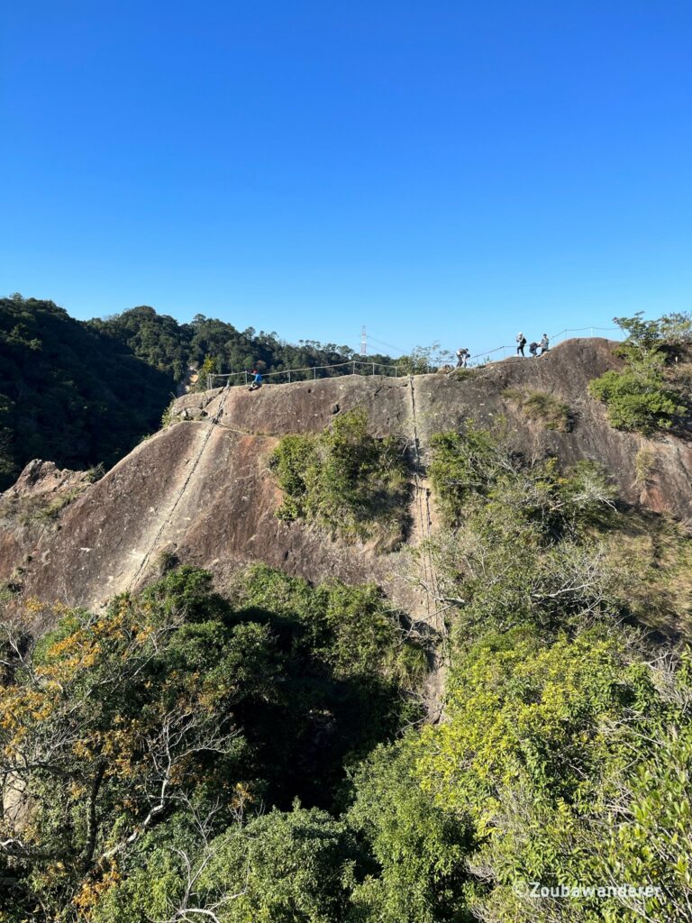
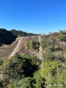
One fascinating section of the trail is from the Niubei Rock (牛背岩) to the Craggy Peak (峭壁雄峰). You will experience climbing down the 30-meter-deep cliff on an incline of 70-80 degrees. There is no vegetation on the cliff, and you’ll only have some trusty ropes to rely on! From there, you can also get to see some pretty good views of the surrounding landscape.
An adequate level of fitness is required for this hike.
Here’s a summary of the hike:
| Route type | Circular |
| Total distance | 11 km |
| Total time taken including plenty of rest, photo stop, etc. | 5.5 hours |
| Moving time | 3 hours |
| Time from the trailhead to Peak | 3.5 hours |
| Time from Peak to the trailhead | 1.5 hours |
| Elevation gain | 600m |
| Elevation loss | 600m |
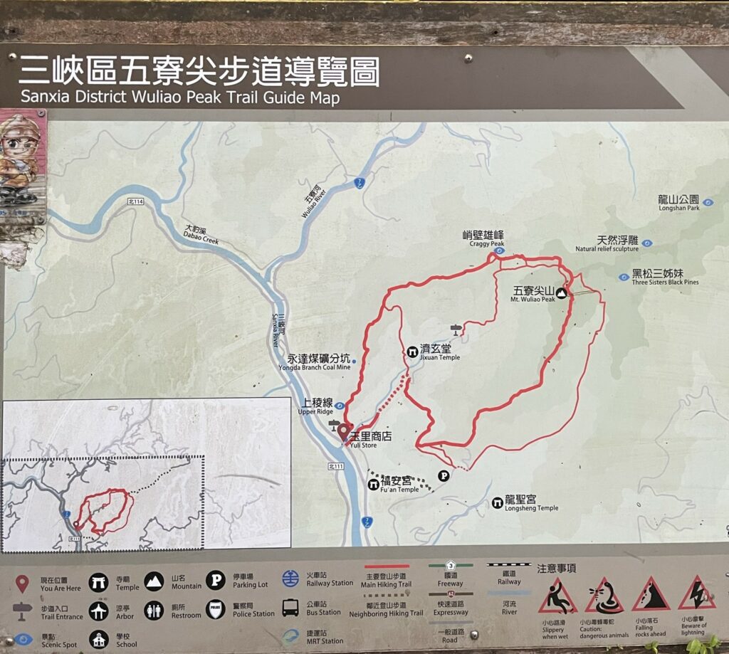
What to expect at Wuliaojian
The beginning
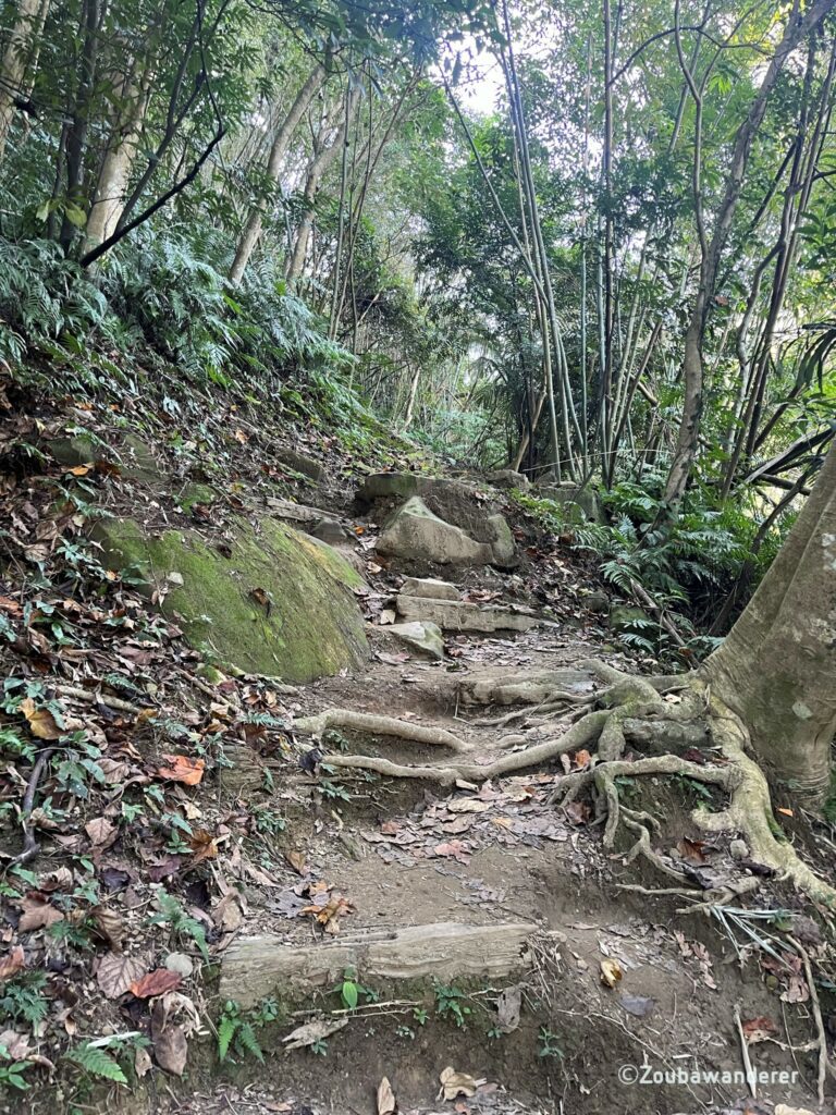
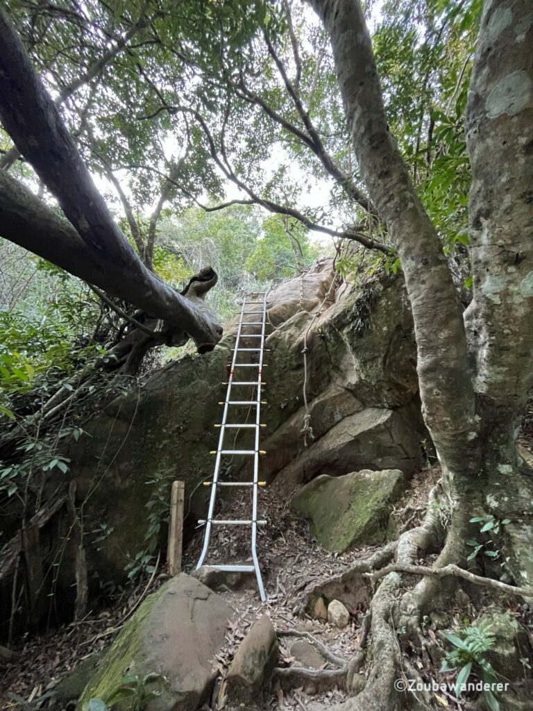
Lots of rocks and ropes, so be prepared to climb and scramble! The path is pretty straightforward and there is little chance of getting lost. There is a cellular connection and Google Maps is pretty accurate here if you need some assurance. The trail is also pretty popular so you will very likely meet other hikers along the way. Take enough water with you for the hike as it can be strenuous at some point.
There are also typically a more challenging route and a less challenging route along sections of the trail so pick the one that you’re comfortable with!
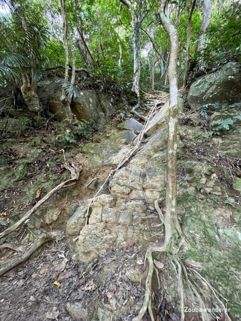
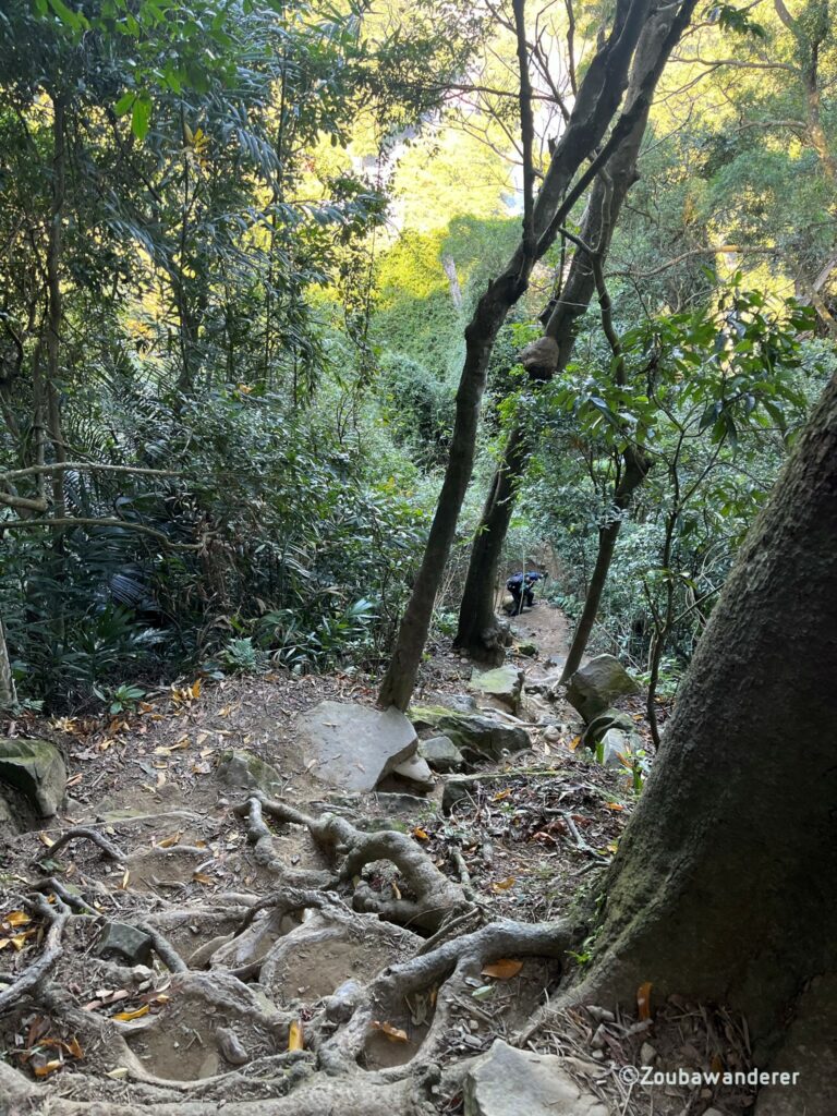
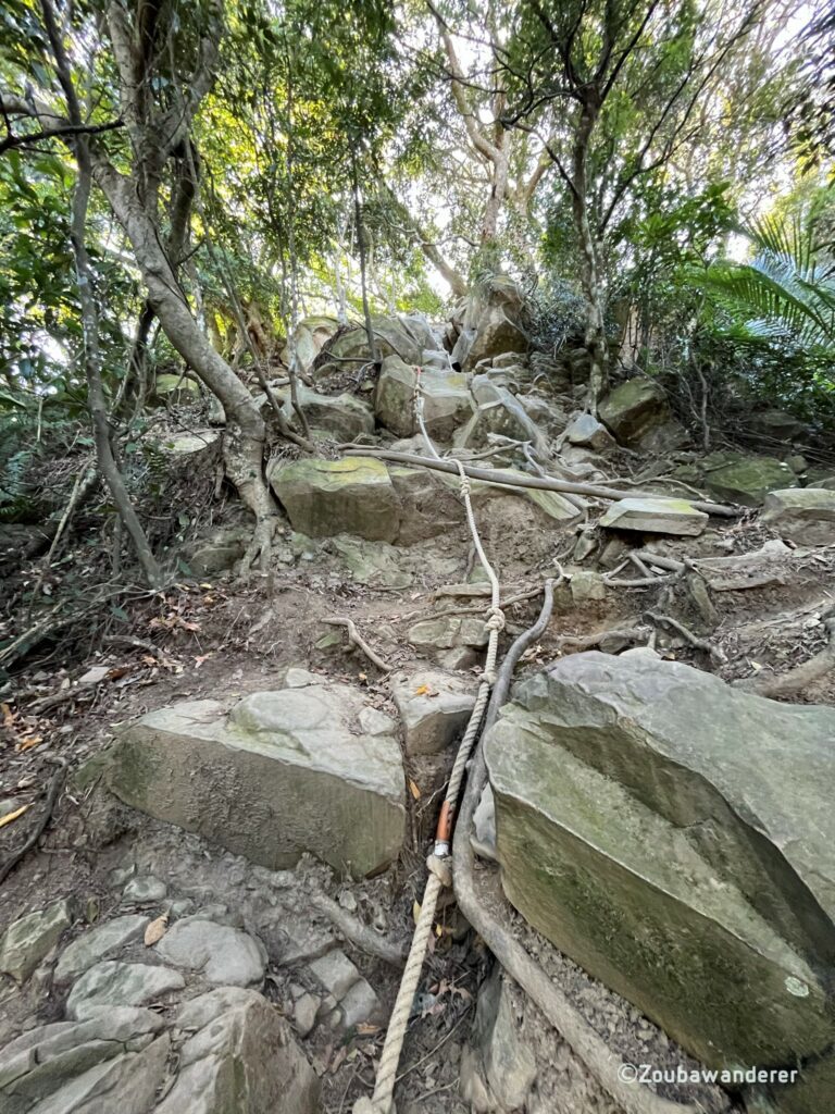
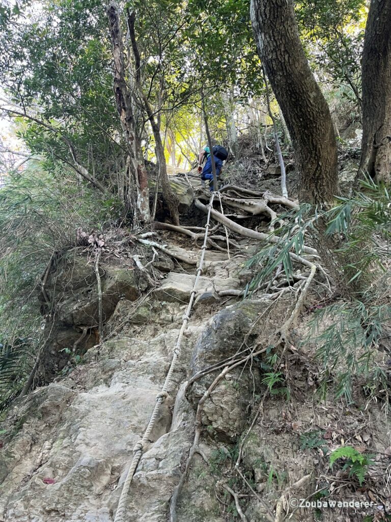
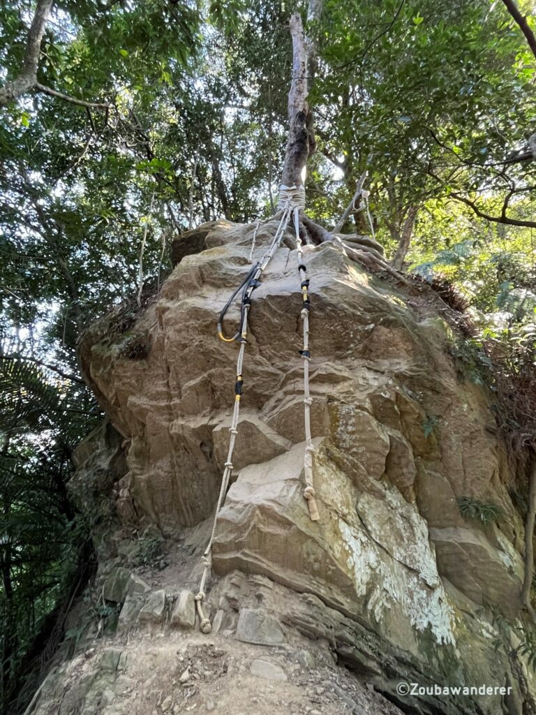
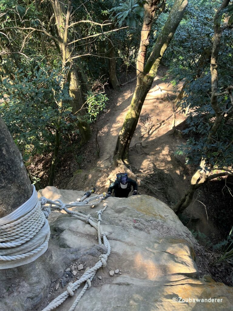
Niubei Rock (牛背岩) to the Craggy Peak (峭壁雄峰)
Not recommended for those with a phobia of heights, but otherwise I felt pretty safe as there were ropes and guardrails for support.
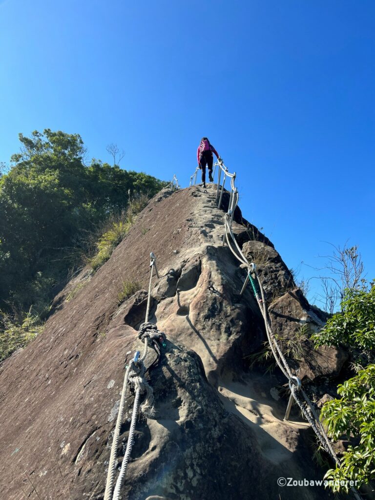
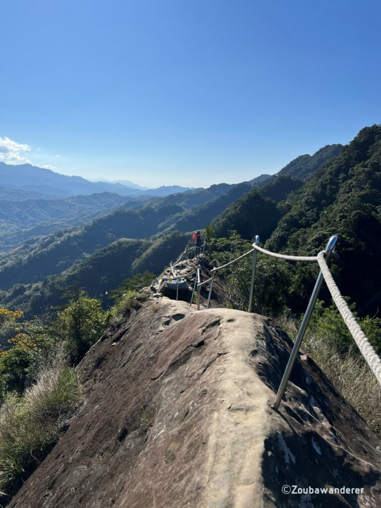
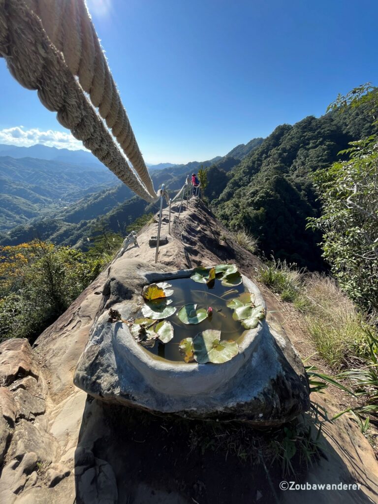
To the Wuliaojian Peak
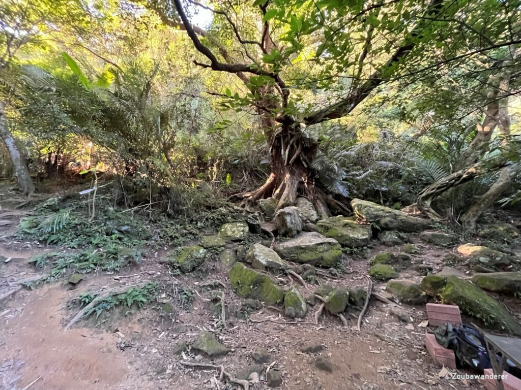
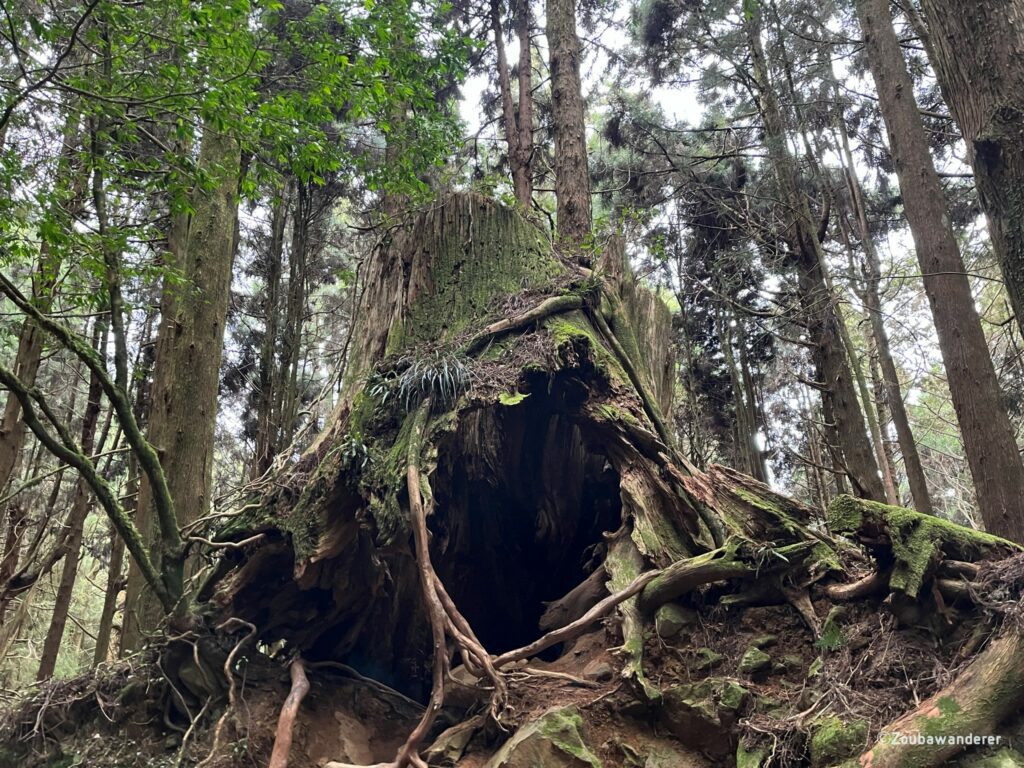
When you reach this huge tree, you are on the last section before the peak of Wu Liao Jian. Two paths on each side of the tree are forming a loop to the peak. You can choose either path – both are a strenuous climb, and there is no easier path up. Most people take the path on the right up and then come down on the left path.
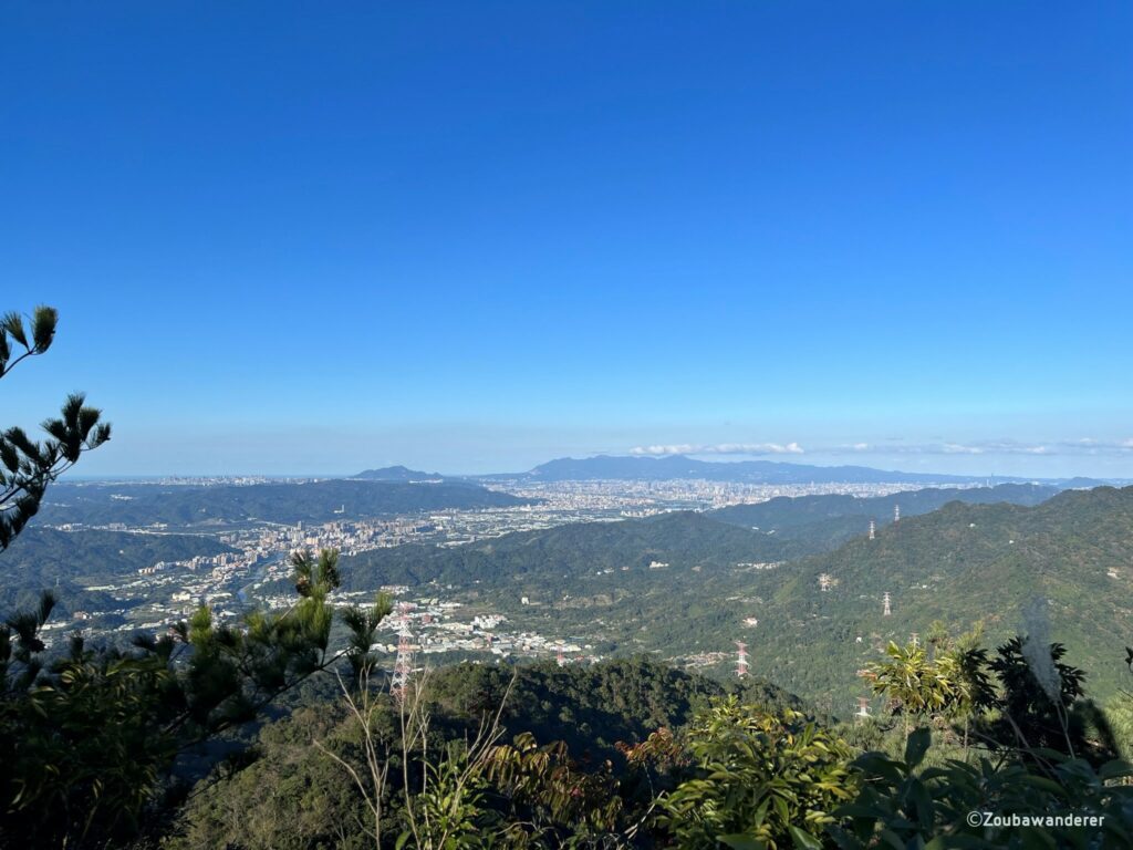
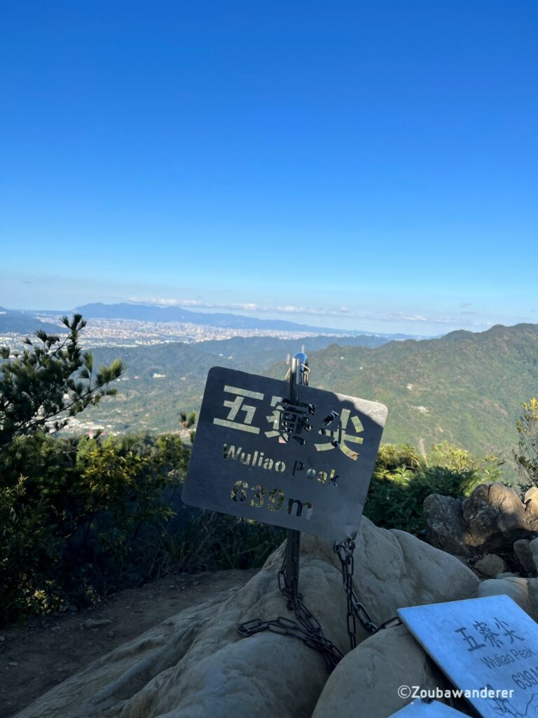
At the peak, you see a nice view of the cityscape and can get a photo opportunity with the Wu Liao Jian metal plaque.
The way out
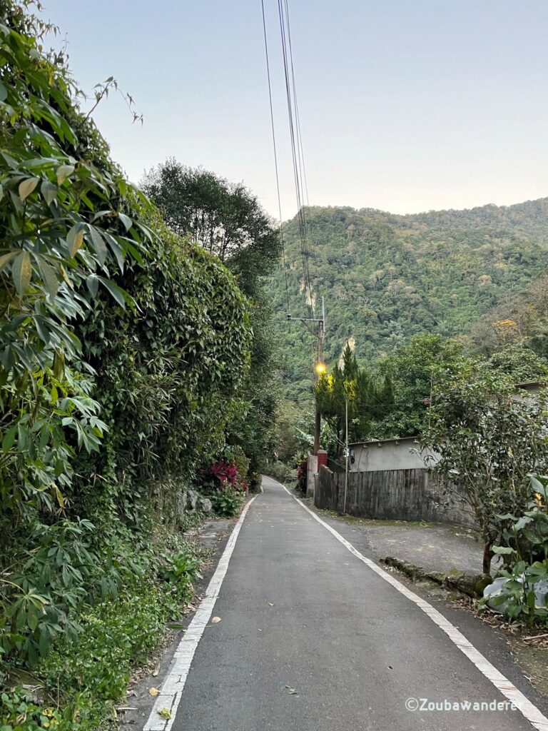
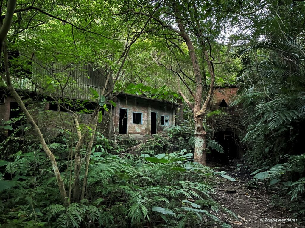
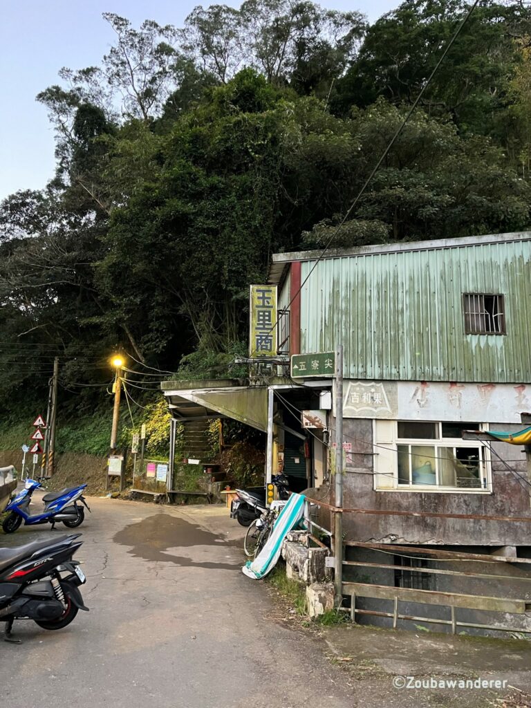
Head the same way back down and then follow the path that goes downhill. As you leave the trail, you will find a shop selling refreshments. However, when we arrived at 5 pm on election weekend, they were not open—poor luck. From the pit stop, you will have to walk another 30 minutes on the road to get to the trailhead.
The pro
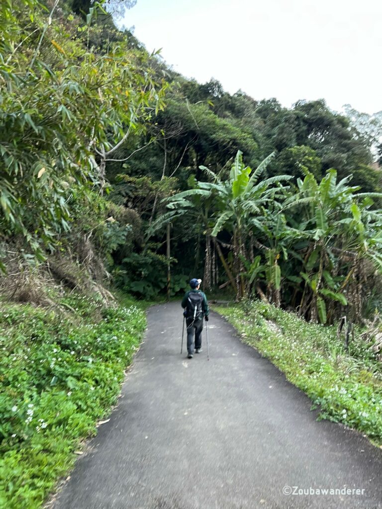
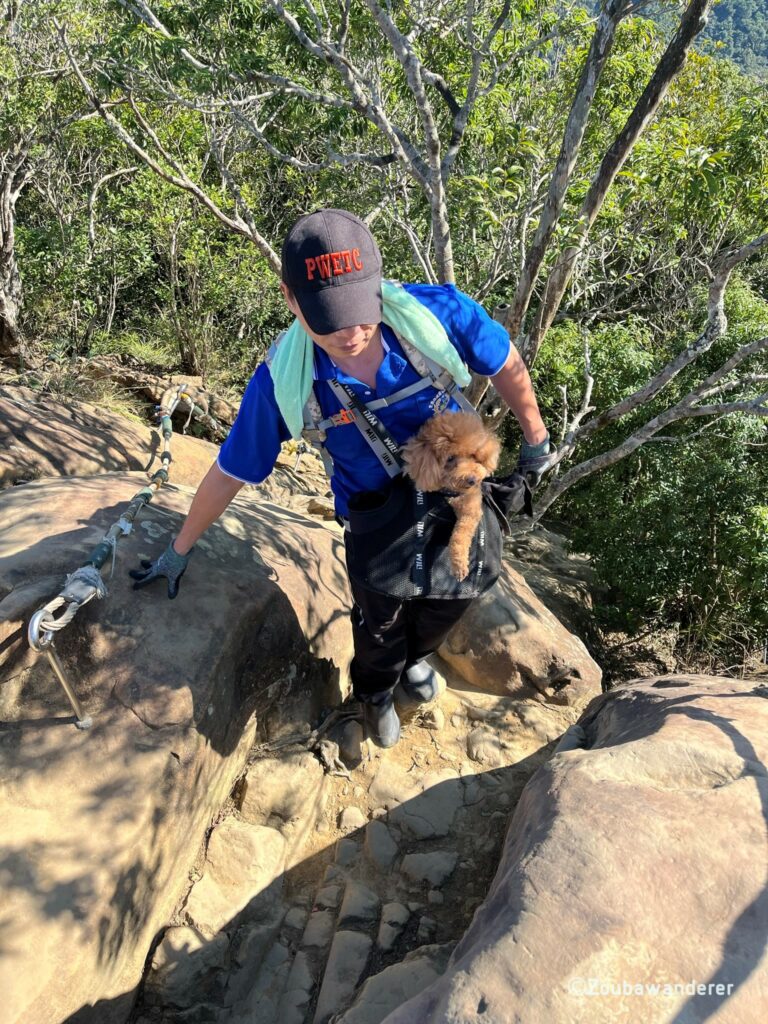
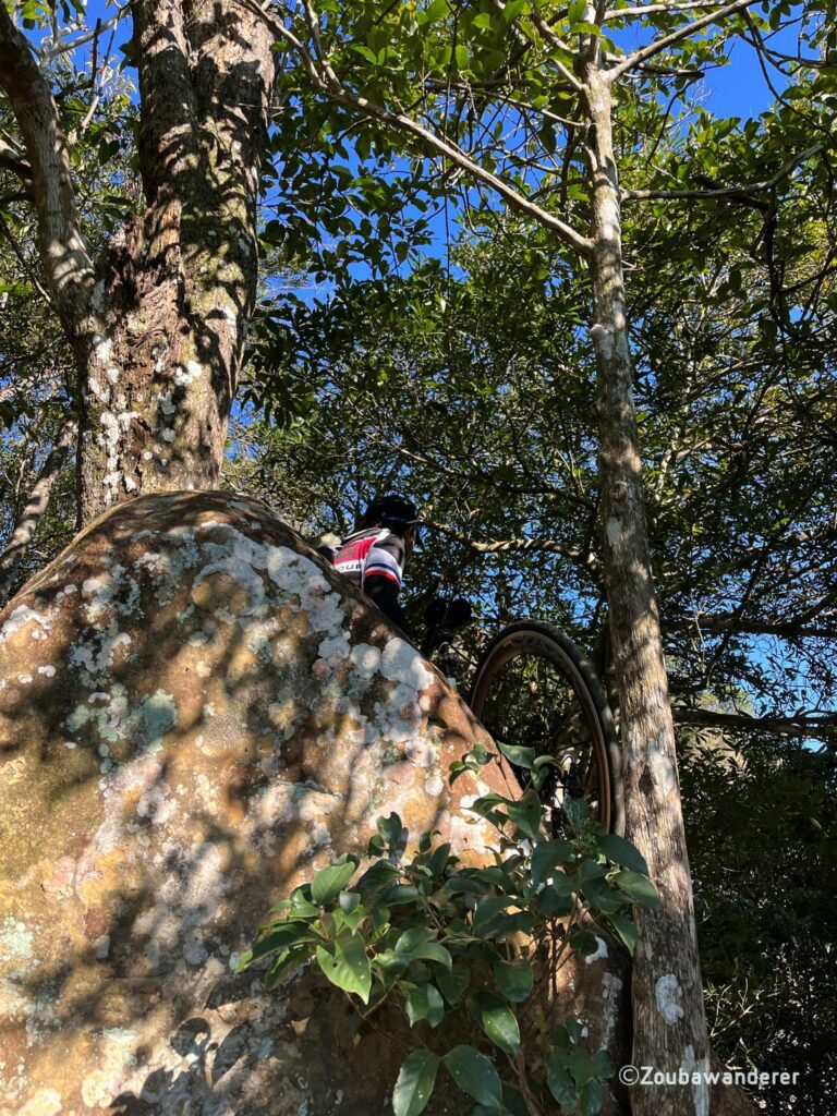
These people deserve a section in itself. Among us struggling commoners, there will always be the pros. Always a humbling experience.
Getting to/from the Wuliaojian trailhead
Public Transport
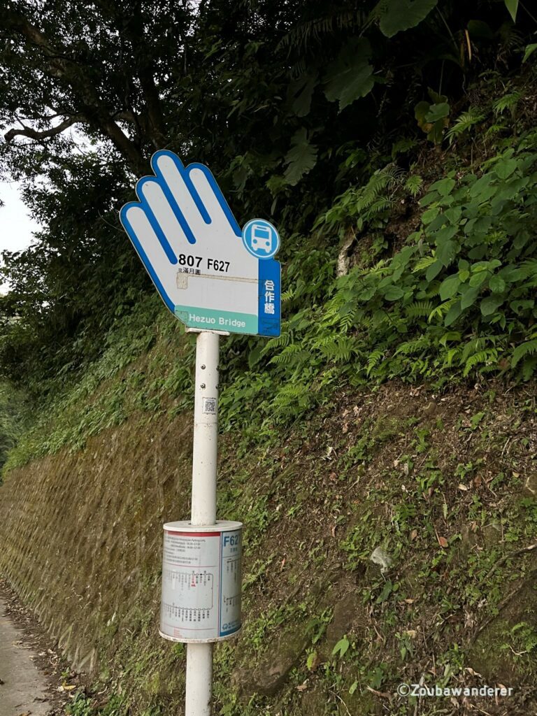
The Wu Liao Jian trailhead is accessible by public transport with two buses servicing the bus stop 合作橋 right at the trailhead. You can easily use Google Maps to get the directions there. It is important to keep track of the time as the buses run at a frequency of every two to three hours and missing it can ruin your subsequent plans. Take note of the timing for the last bus as well as you will be leaving from the same bus stop!
Bus F627
- Check out the route map. Do note that the timings written are when the bus despatches from the terminal, not the time of arrival at the intended bus stop.
- Check out the real-time updates.
Bus 807
- Check out the route map. Do note that the timings written are when the bus despatches from the terminal, not the time of arrival at the intended bus stop.
- Check out the real-time updates.
Driving / Riding a scooter
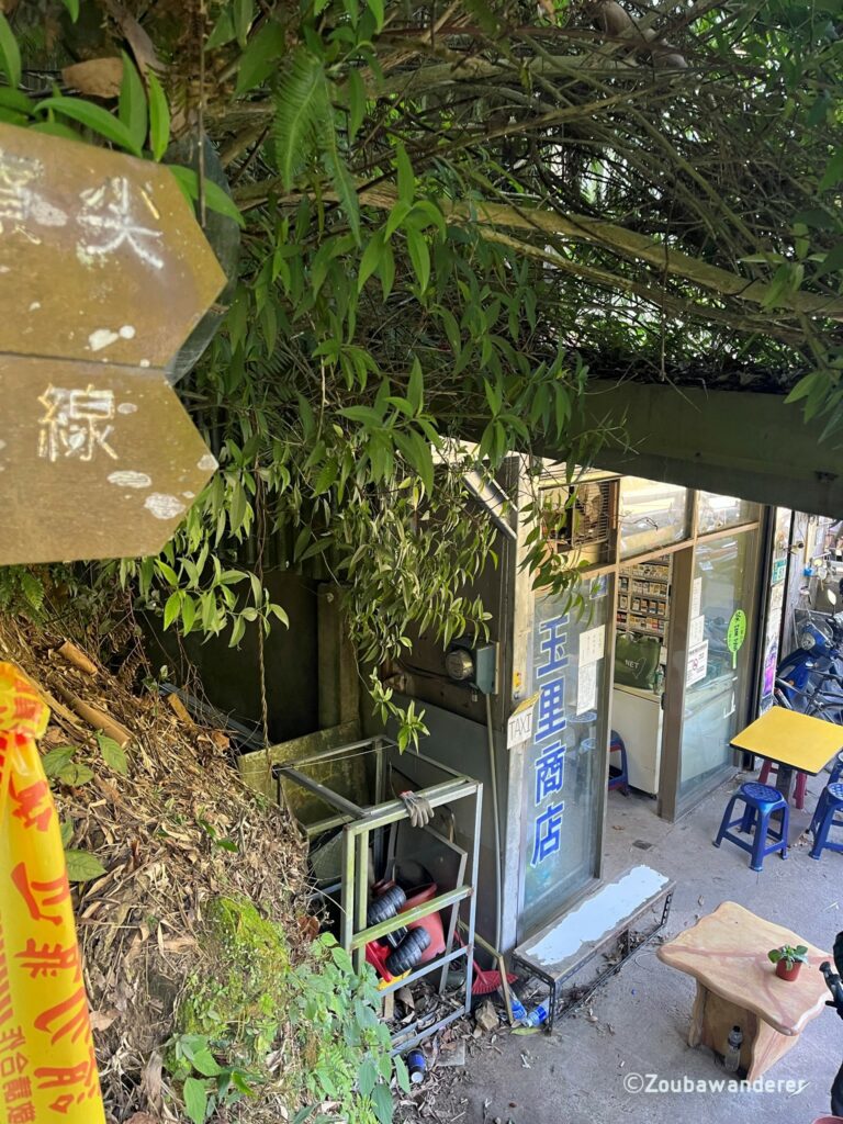
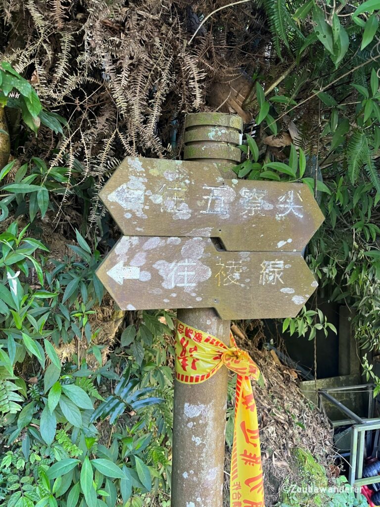
You pretty much just follow Google Maps to the trailhead location. Don’t worry about parking since there is plenty of free roadside parking near the trailhead. If you need to make last-minute purchases of drinks or refreshments, there is an old-school convenience stall called Yuli Shop (玉里商店) just beside the trailhead.
Things to bring / NOT to bring
Bring
- Phone – for photos, Google Maps, checking the bus timings etc
- Jacket/outer layer – depends on the season, ideally rainproof, but check the weather forecast before heading out
- Sun protection – some sections have no shade
- Water and snacks
- EasyCard (悠遊卡) & cash – for public transport and in case you want to buy refreshments
Don’t bring
- Trekking/hiking poles — you will be rope climbing and using all fours pretty frequently, trekking poles are not suitable and will be very annoying to carry around
Looking for other things to do in Taipei? Check out my post on Camping at Bishan


Very nice 😉
Waiting for some from New Zealand man!!